Click on this map to jump the airport.
Click on this map to jump the airport.
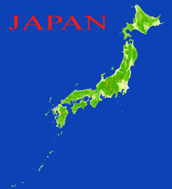
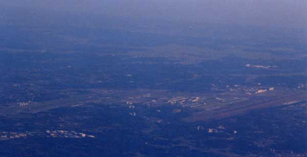
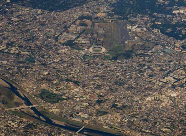
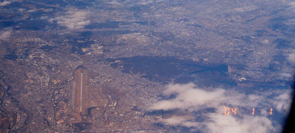
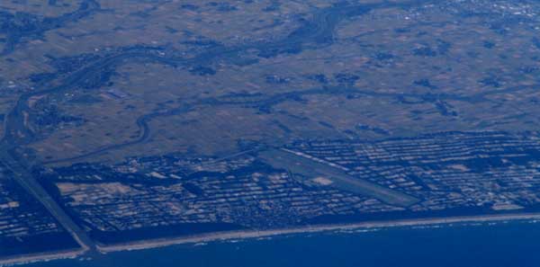
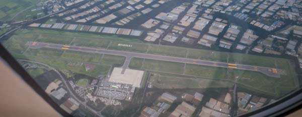
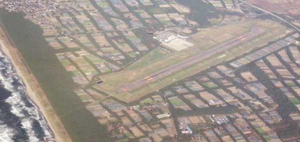
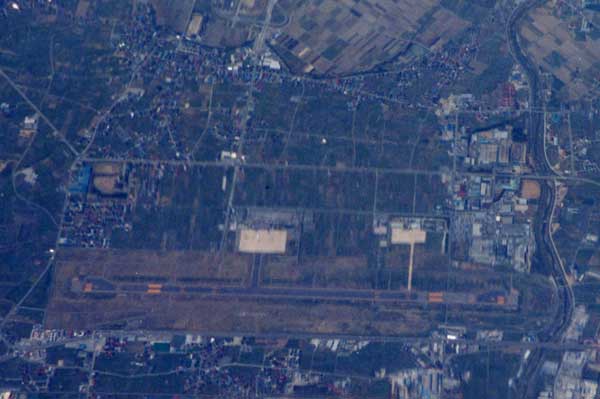
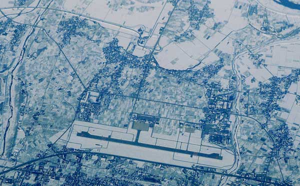
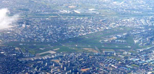
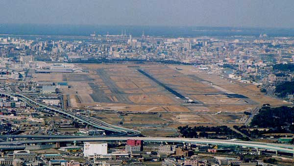
Kanto area
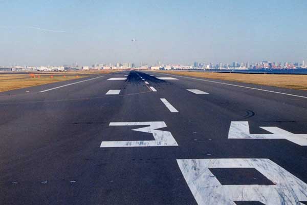
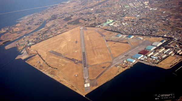
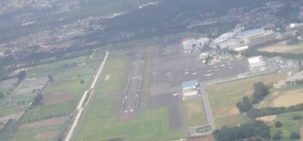
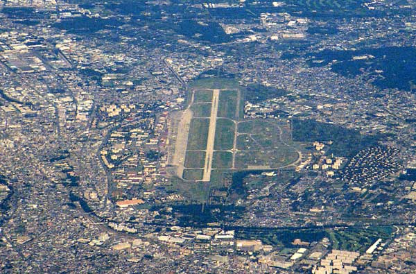
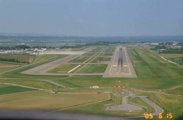
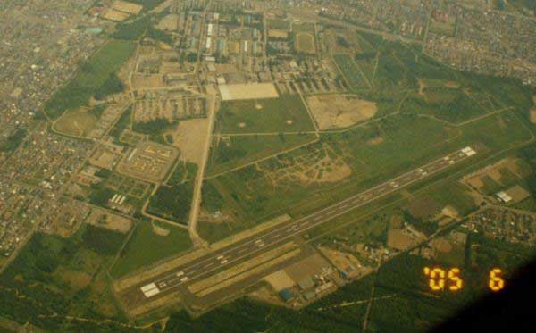
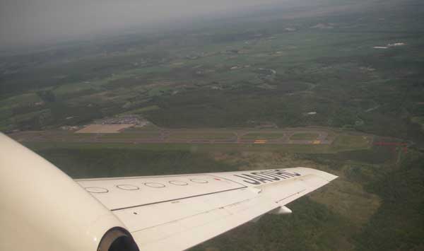
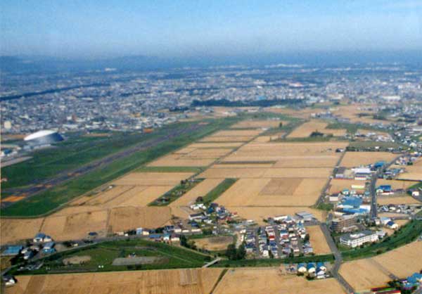
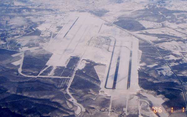
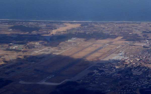
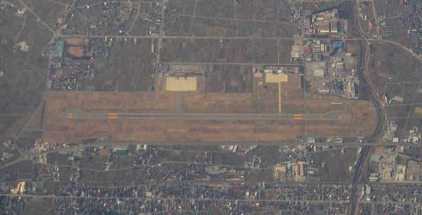
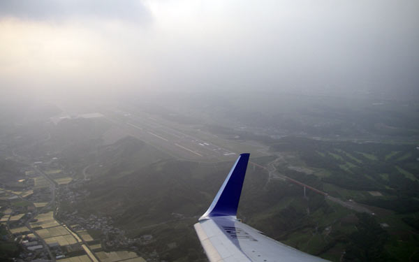
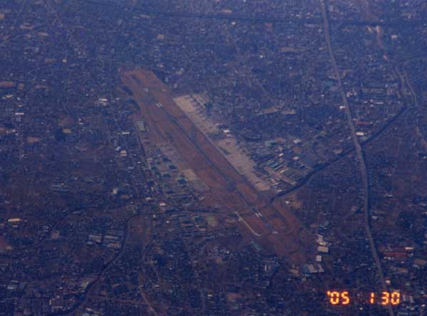
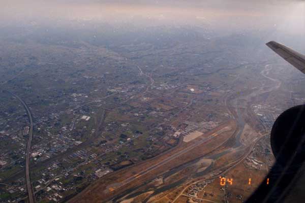
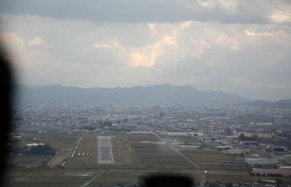
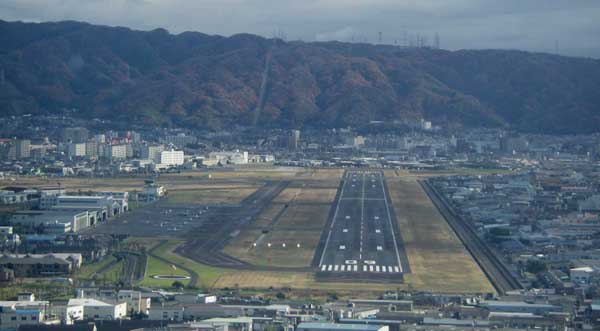
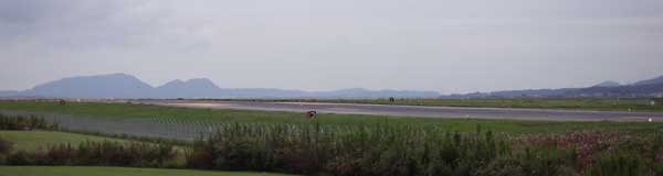
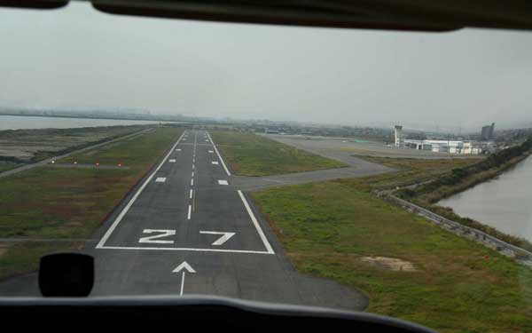
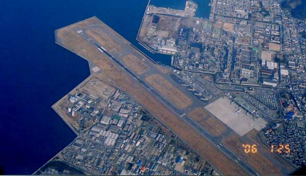
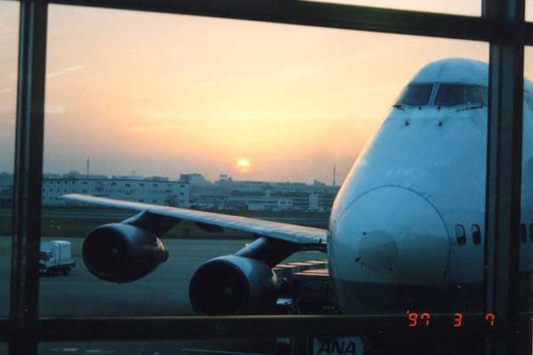
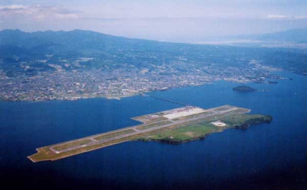
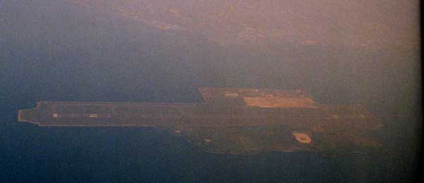
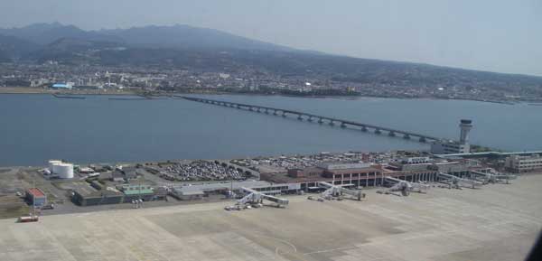
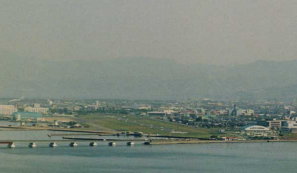
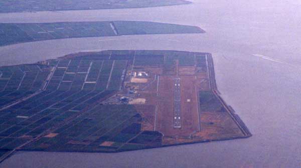
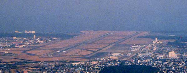
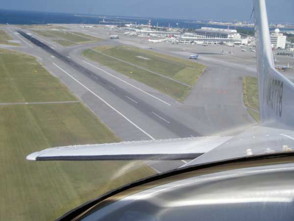
From the runway 34R for takeoff!

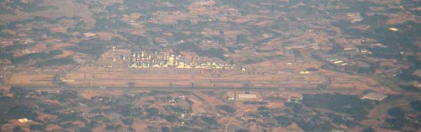
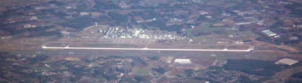
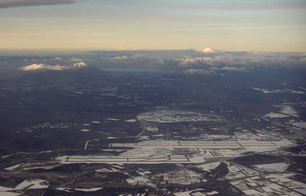
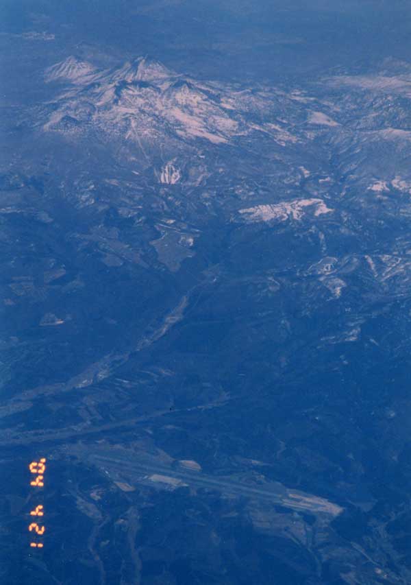
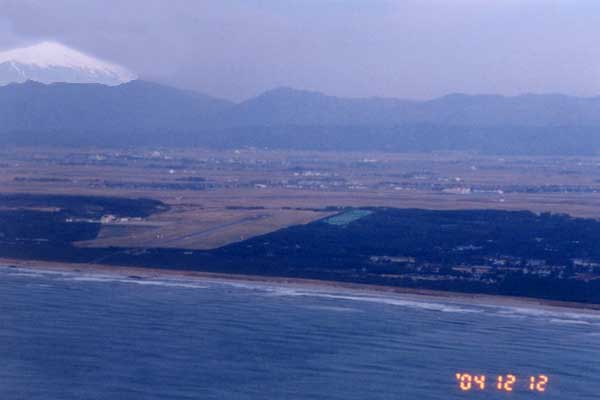
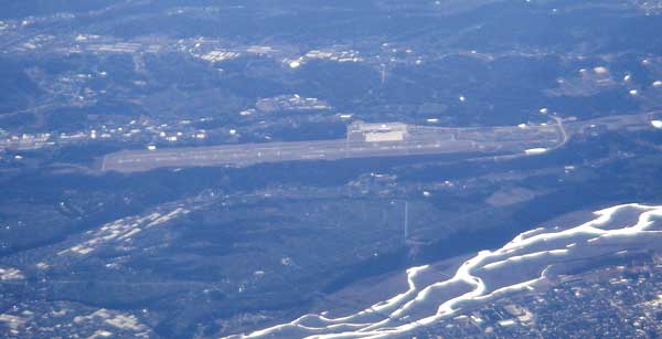
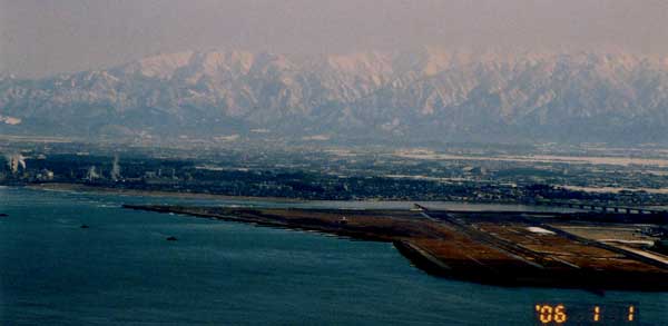
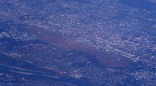
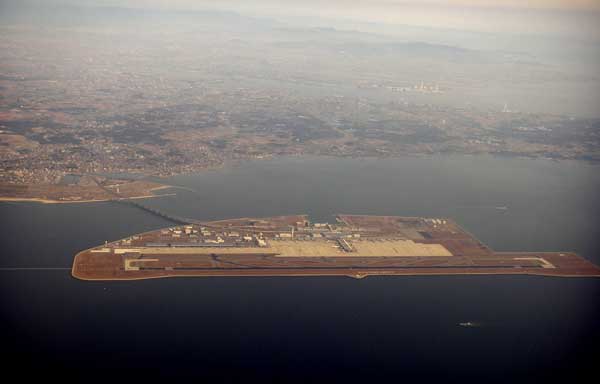
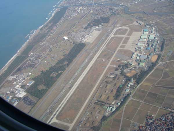
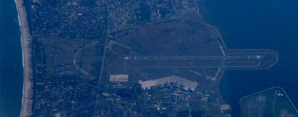
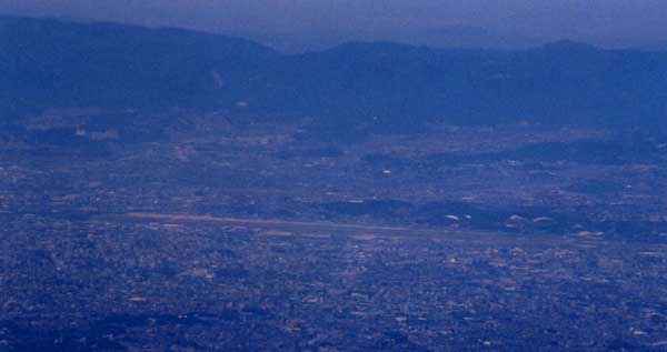
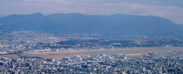
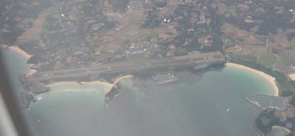
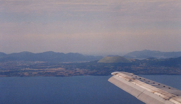
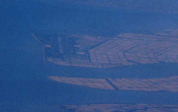
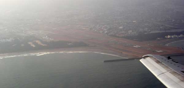
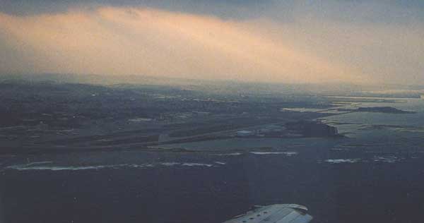
You can see beautiful Mt. Fuji from Haneda airport.
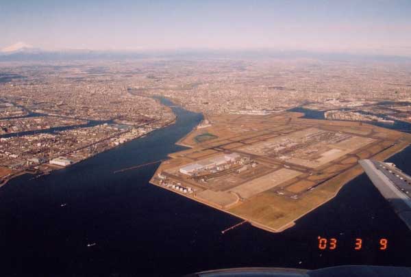
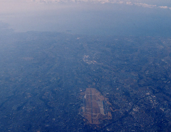
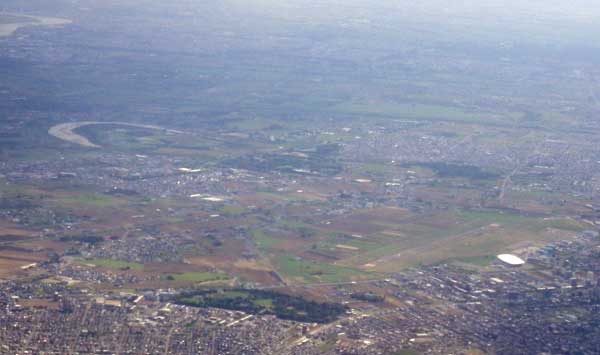
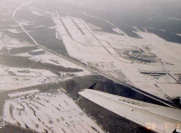
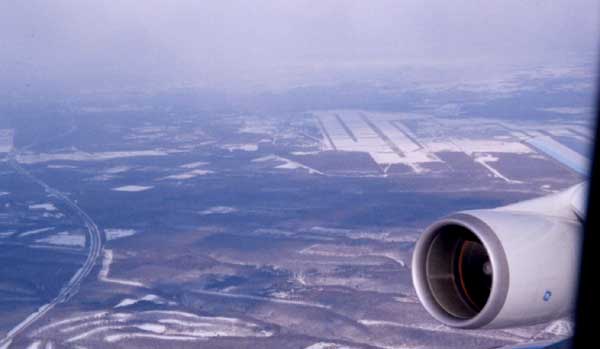
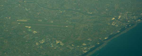
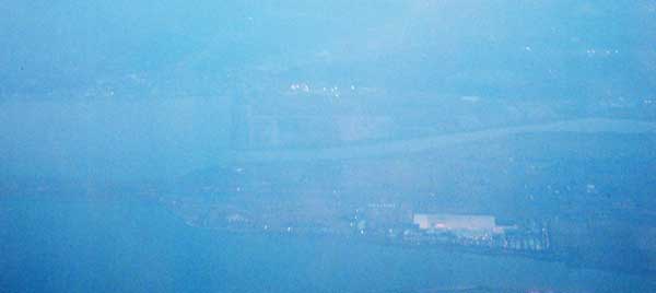
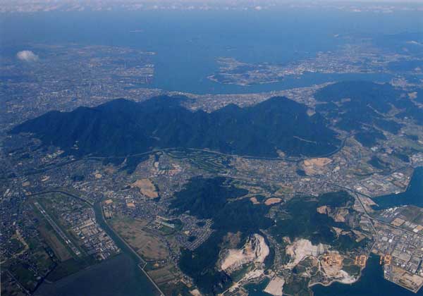
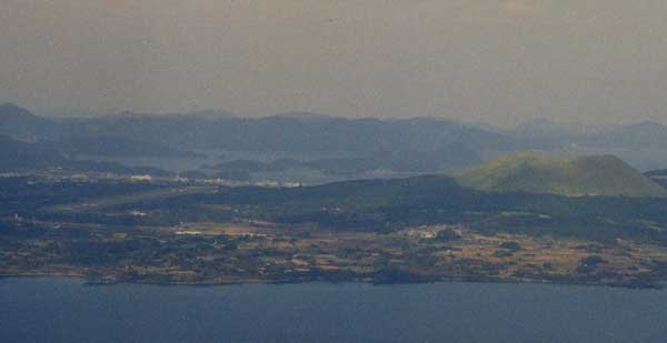
After takeoff, you can see Haneda airport and Mt. Fuji.
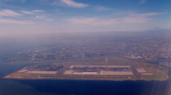
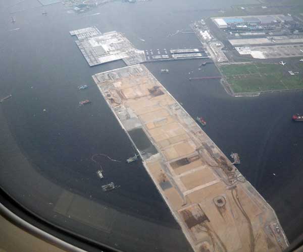
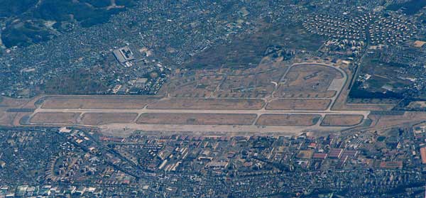
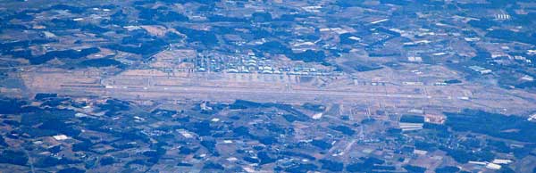
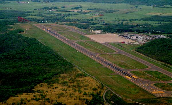
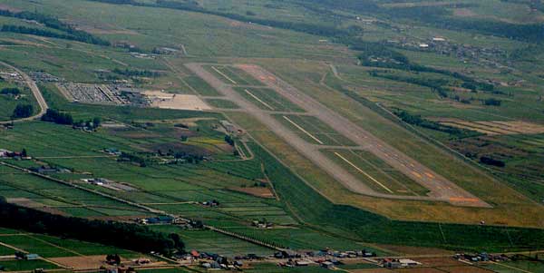
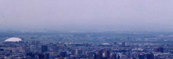
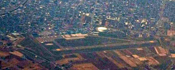
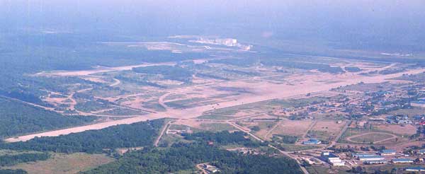
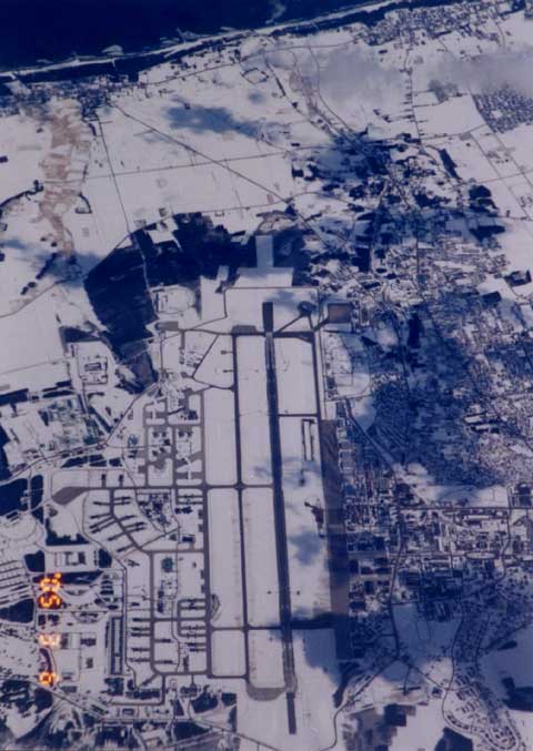
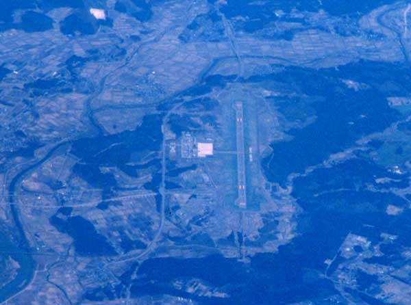
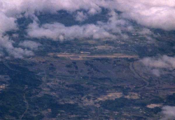
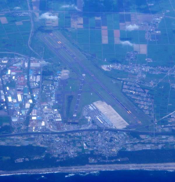
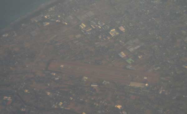
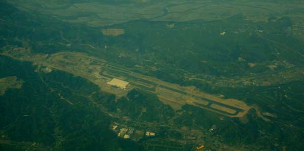
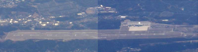
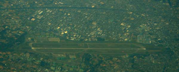
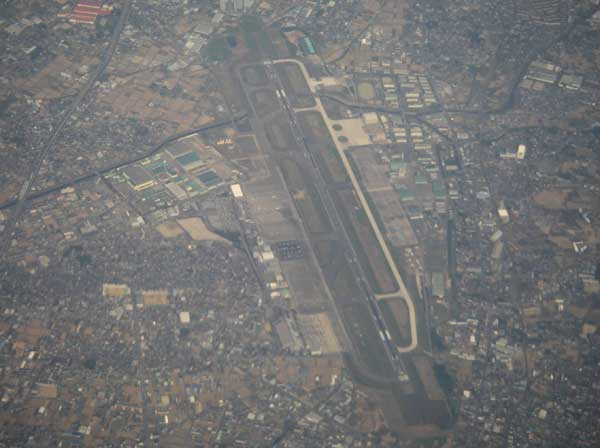
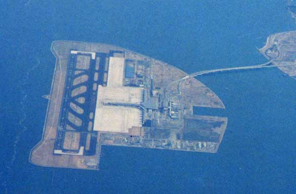
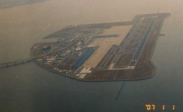
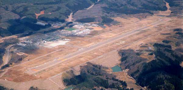
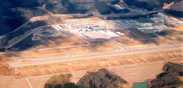
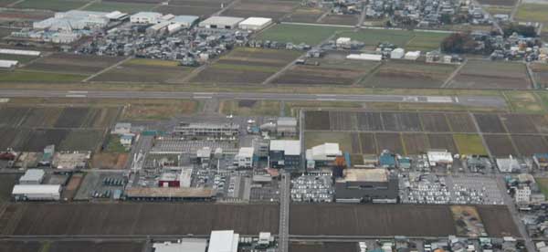
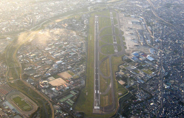
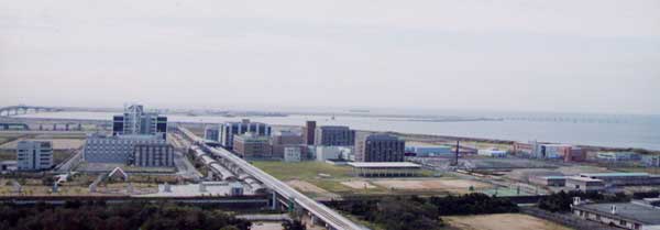
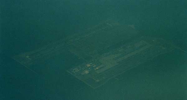
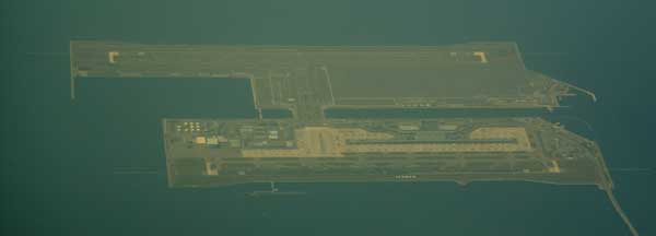
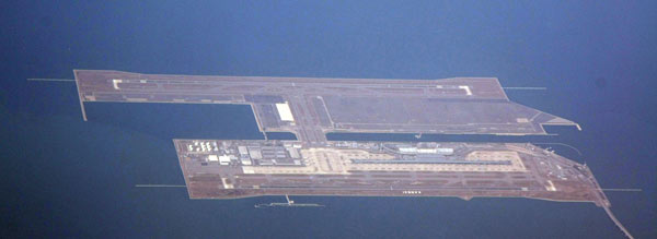
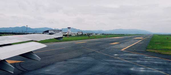
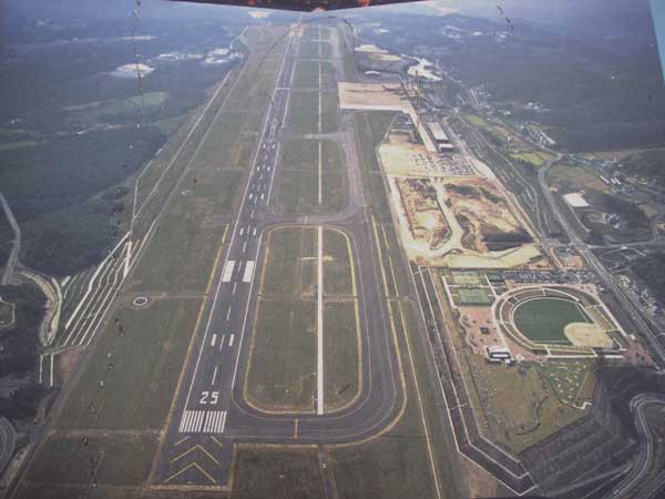
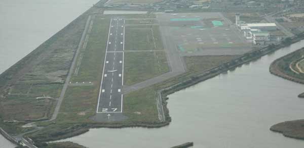
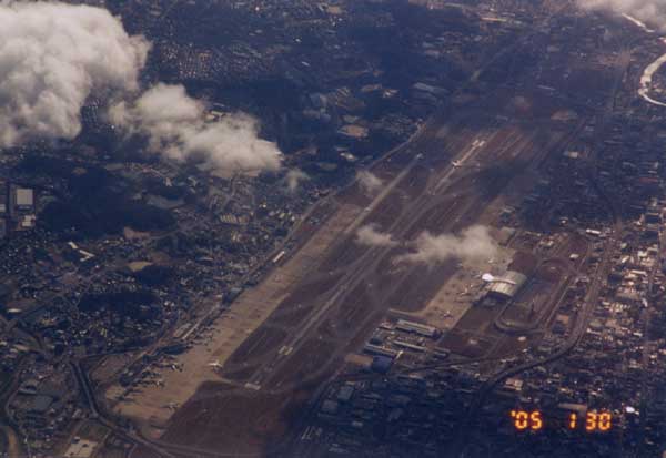
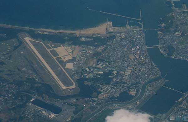
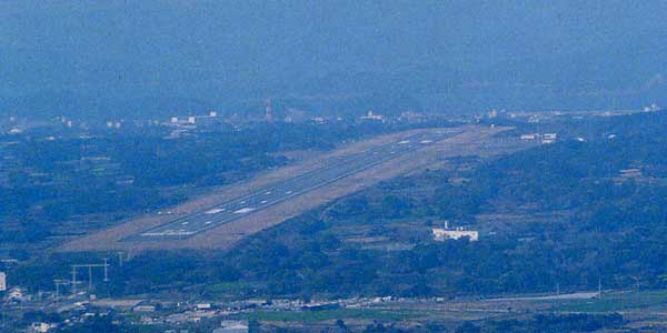
Haneda, the new runway No.4 is under construction.
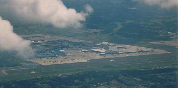
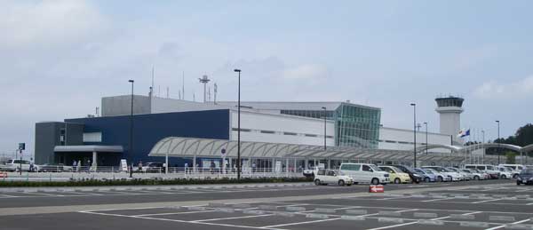
New Terminal-1 south wing started to operate Star Aliance Airlines from June 2006.
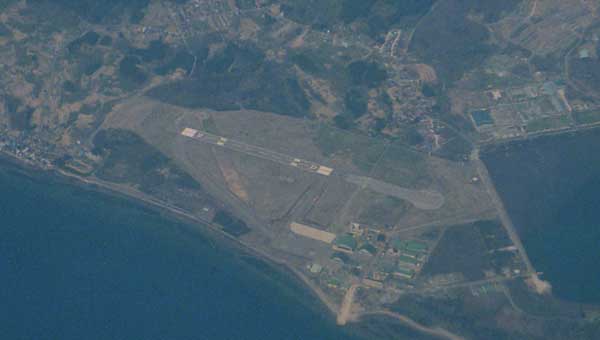
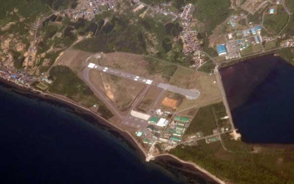
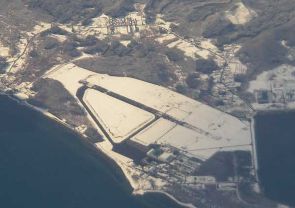
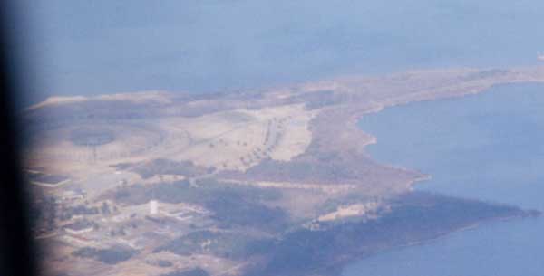
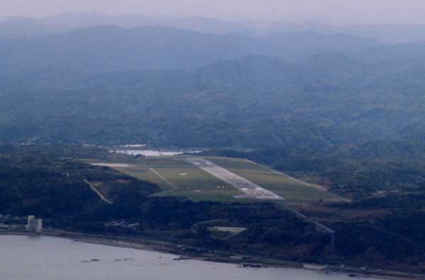
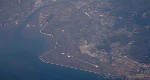
Kisarazu Air base (RJTK)
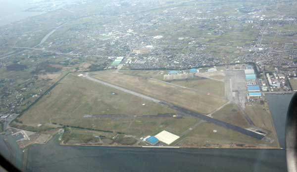
Tateyama airbase (RJTE)
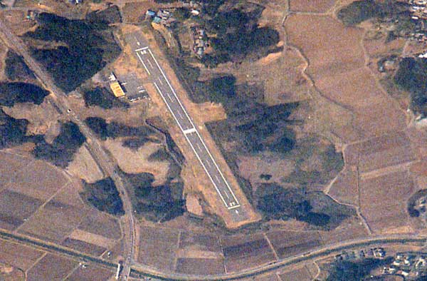
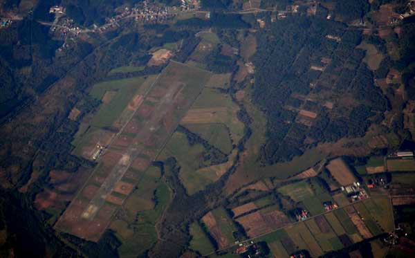
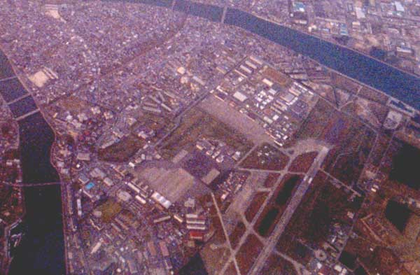
Cyofu airport for general aviation (RJTF)
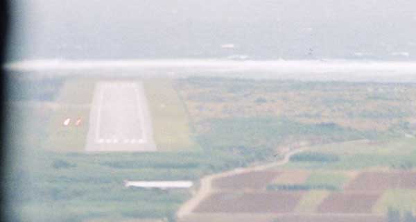
Departed from Chofu airport for Kozushima.
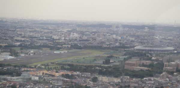
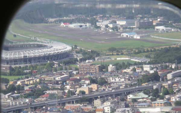
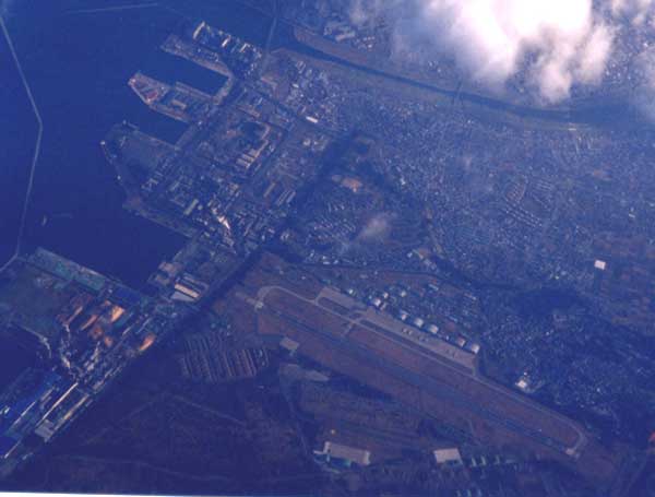
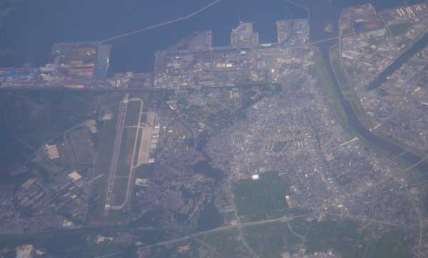
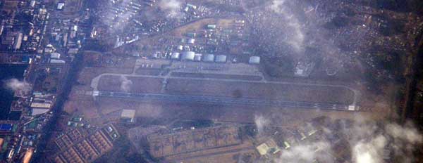
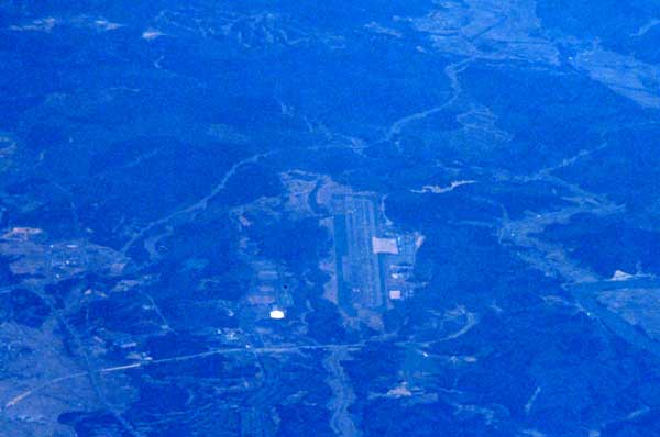
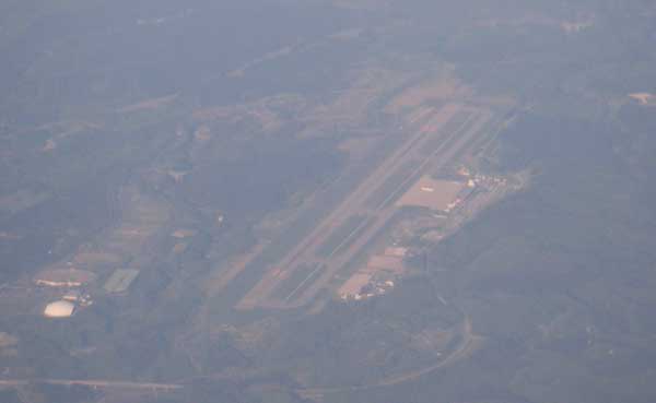
Yokota air-base (USAF), Tachikawa air-base (JSDAF) and Cyofu airstrip for commuter aircraft.
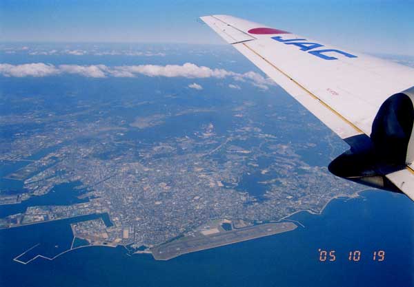
You can see Tomei highway and Enoshima.

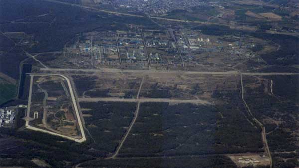
Close-up of the Atsugi NAB.
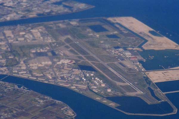
Shimofusa Air Force base (RJTL)
![]()
![]()
![]()
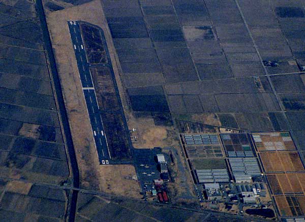
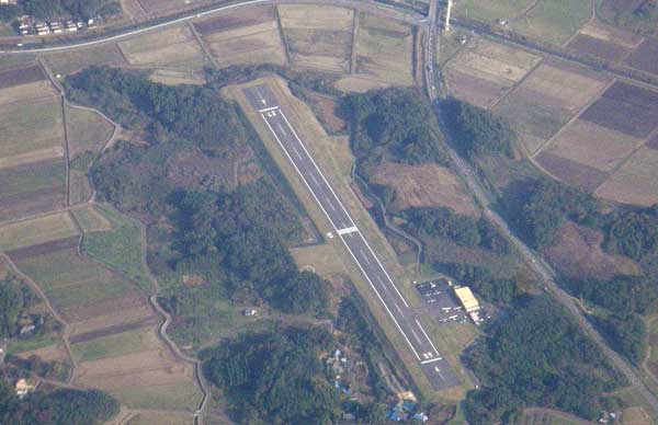
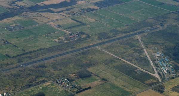
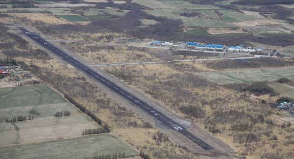
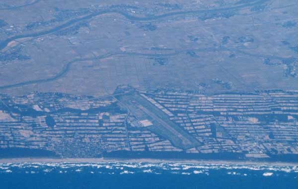
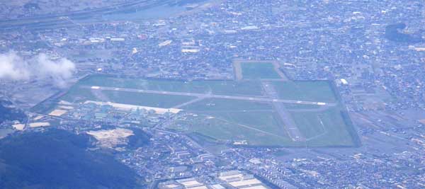
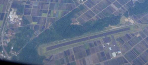
Utsunomiya North airbase (RJTU)
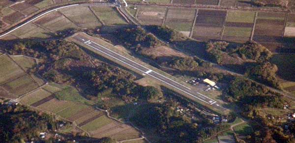
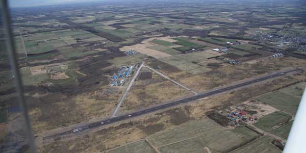
Ryugasaki air strip for general aviation.
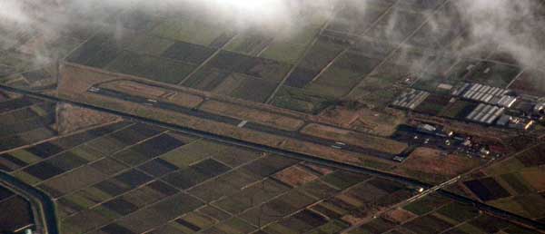
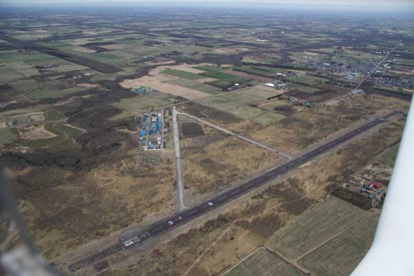
O-Tone air strip for general aviation such as gliders.

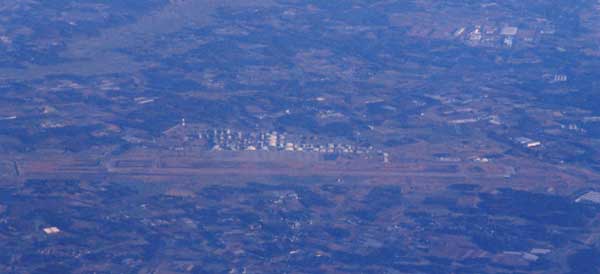
Hyakuri Self Defence Air Force Base (RJAH)
Iruma AirForce Base. (RJTJ)
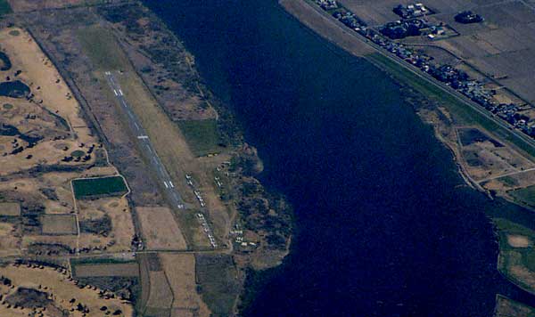
Ami airfield.
![]()
![]()
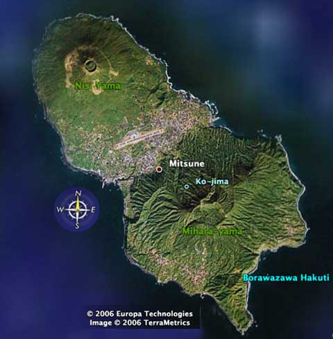
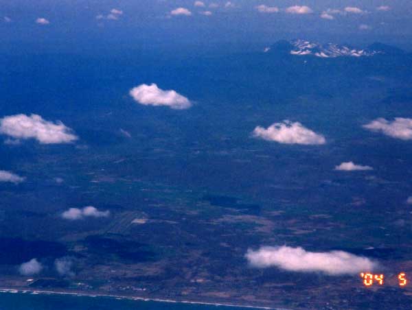
You can see active volcano of Mihara-yama and Mt. Fuji.
![]()
![]()
![]()
![]()
![]()
![]()
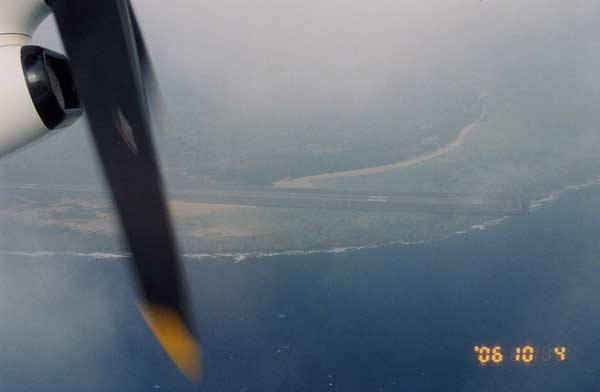
Kouzushima airport (RJAZ)
![]()
![]()
![]()
![]()
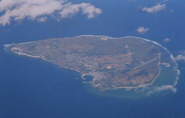
Niijima airport (RJAN)
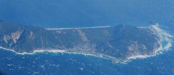

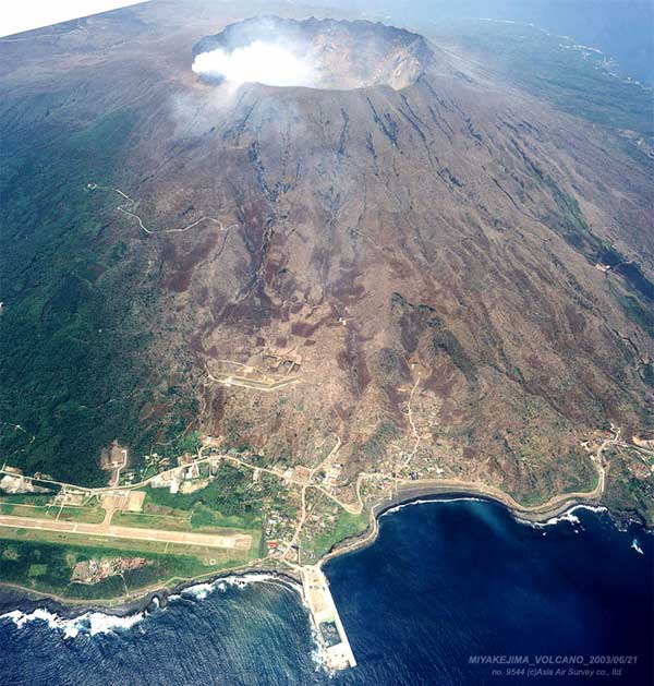
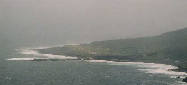
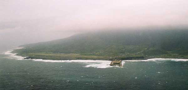
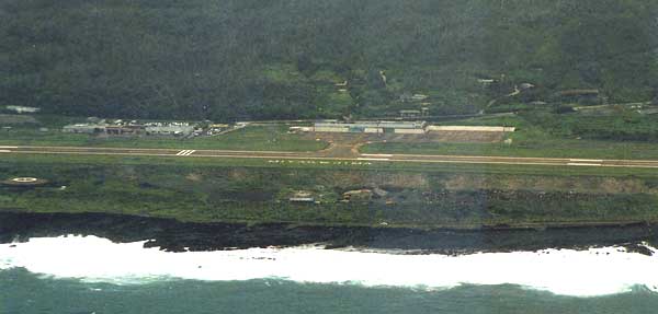
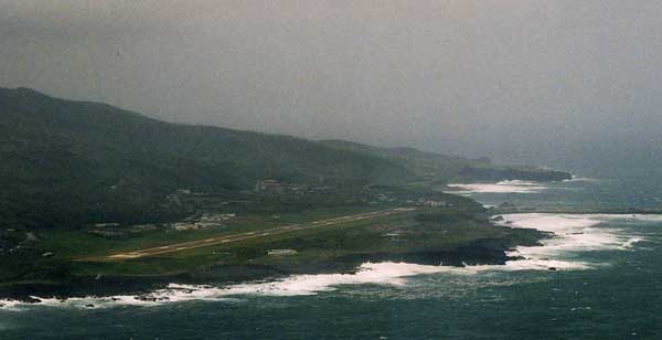
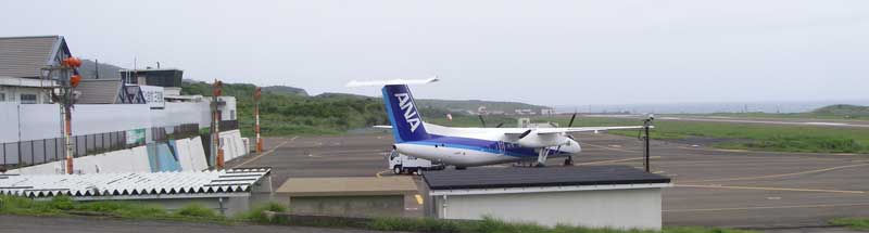
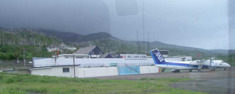
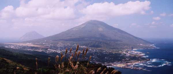
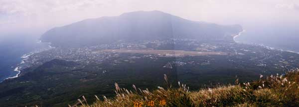
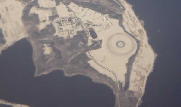
Miyake island is an active volcano located 100miles south of Tokyo.
It is stll actively erupting sulphatide acid gas, so trees and animals could not be lived.
Around the lesion of the Miyake airport and sea port are prohibited to enter.
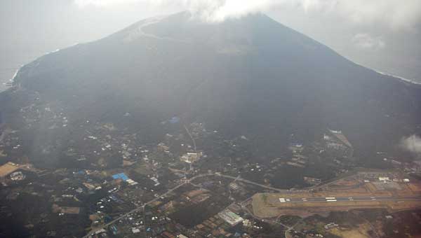
On the April 26th, Miyake island airport happly reopened.
But it was only one returning flight compaired to the previous two returning flight,
altho, if the wind brew from west, volcanic gas washes this airport, so, the flight will be cancelled.
According to the flight record, only 64.5% was operated on this May.
Hachijo island located 155nm south of Tokyo. Hachijo-Fuji is a volcano locates norht of the island.
Hachijo airport view from the top of the Hachijo-Fuji.
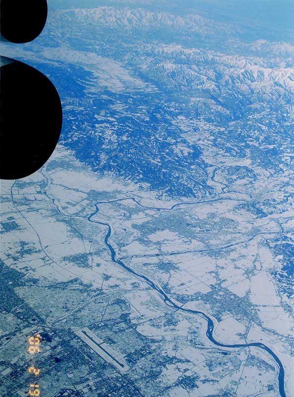
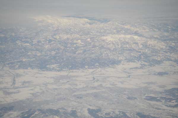
Hokkaido
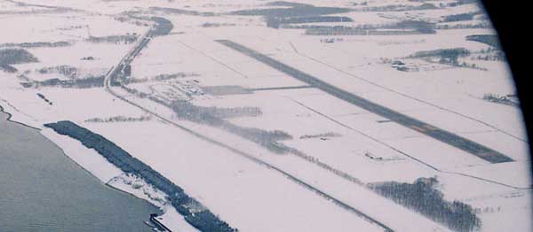
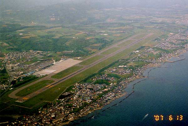
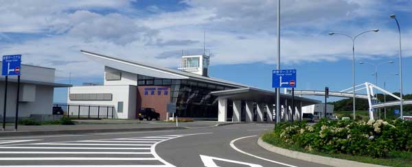
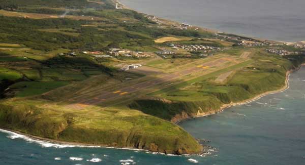
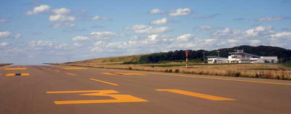
Wakkanai airport at Sep. 11, 2005.
Wakkanai airport and the cape Soya; the north most point of Japan.
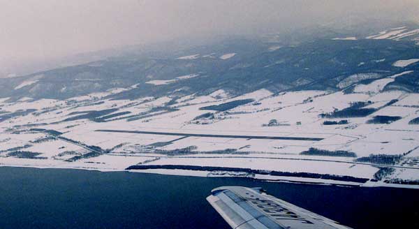
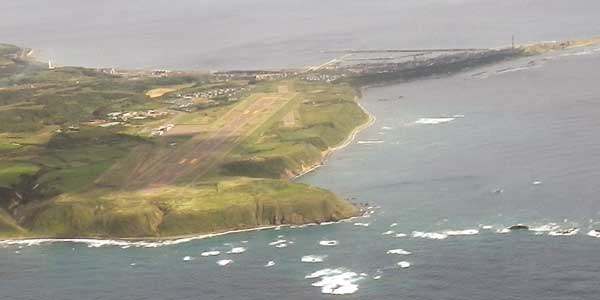
Nov. 18, 2009.
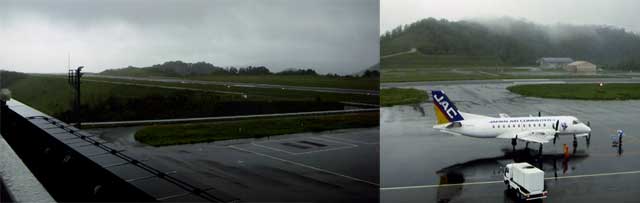
There were only one flight service of the ADK's Twin-Otter until Mar. 31, 2003.
It seems that minimum maintenance has been done, but it will be abandan soon.
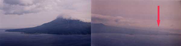
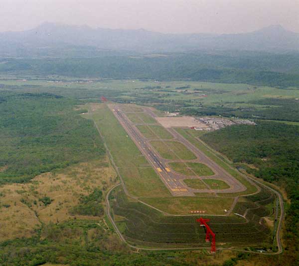
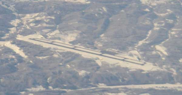
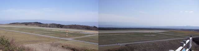
Red arrow indicates the location of Rishiri Airport.
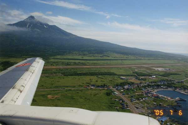
Mt. Rishiri, known as Rishiri FUJI.
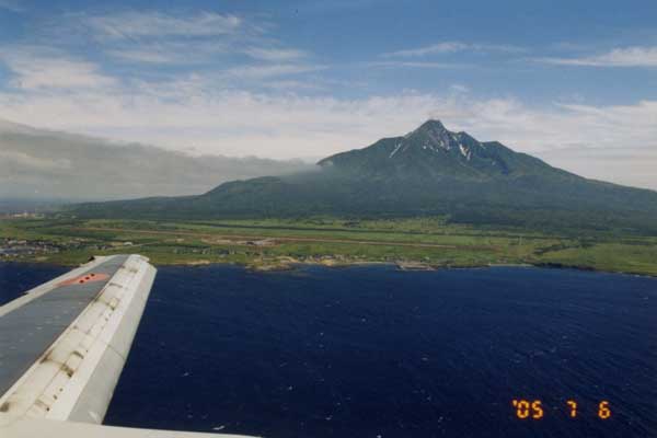
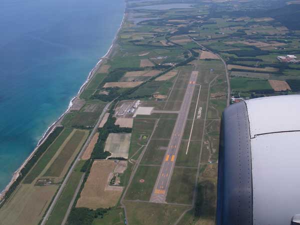
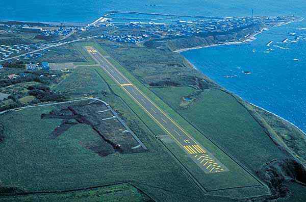
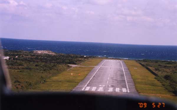
Approaching to the RW07 of Rishiri airport.

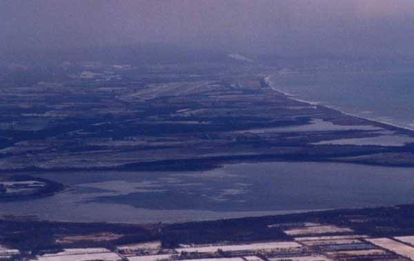
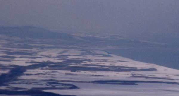
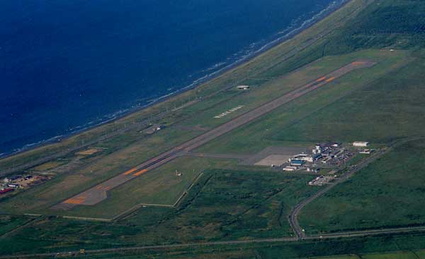
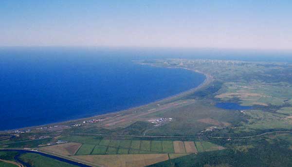
Ex-Monbetsu airport.
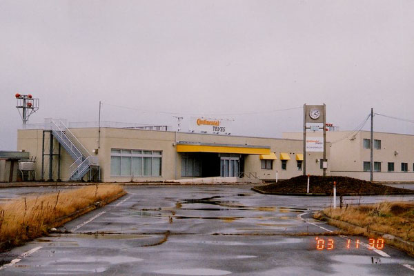
The old runway is used for the test course of Continental Tire Company.
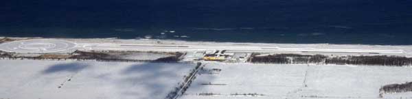
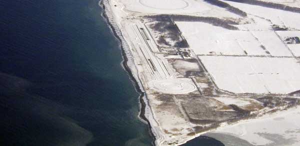
You can see the ex-airport behind the new runway.
North-west of the airport; Kamuinupri (lake Masyu) has been sheen.

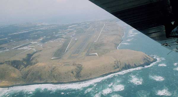
Behind the Nakashibetsu airport, you can see the mountains of Shiretoko peninsula.
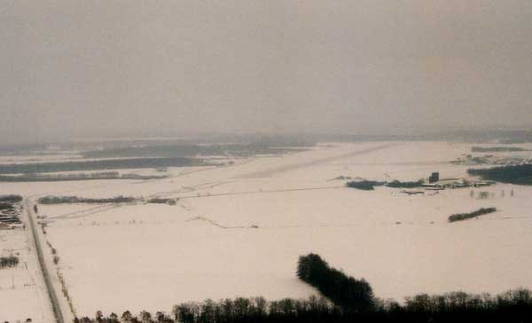
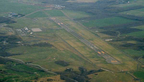
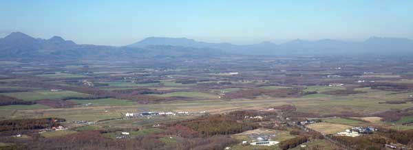
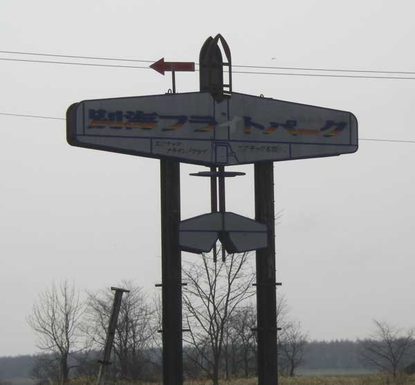
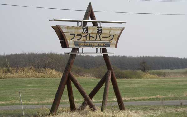
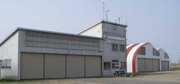
Bekkai Flight Park (no four letter)
Kenebetsu Air Base (RJCS)
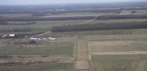
Kenebetsu Air Base located 15nm south of lake Masyu.
Teshikaga air strip
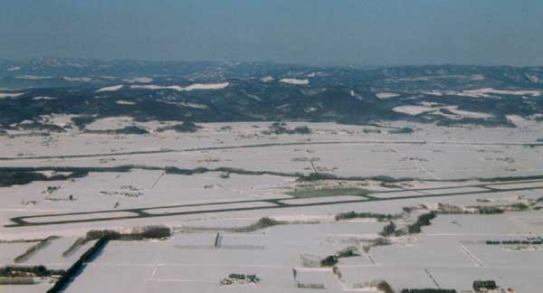
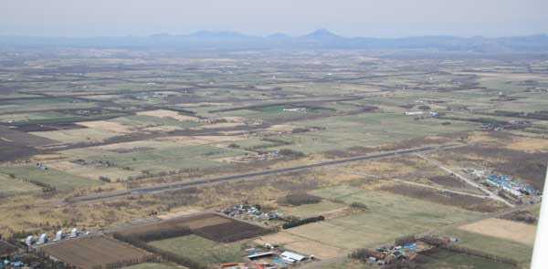
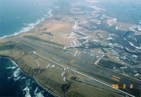
Obihiro airport is surrounded by the firm.
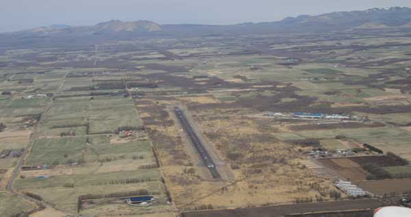
Ohibiro airport RW17 end.
Obihiro airbase (RJCT)
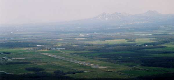
You can see Akan Fuji on the back.
Taiki air-park.
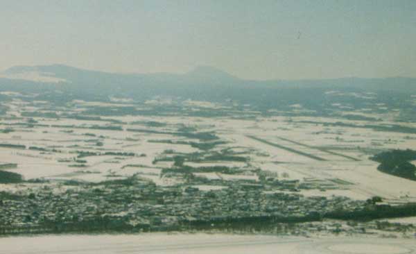
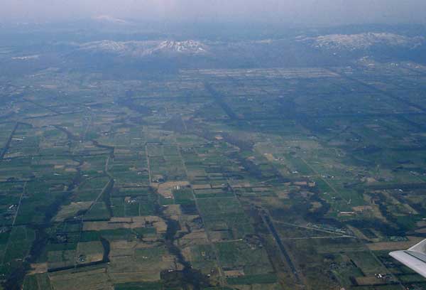
Asahikawa air base (RJCA)
Biei air-strip
View from the JR-Sapporo Tower.

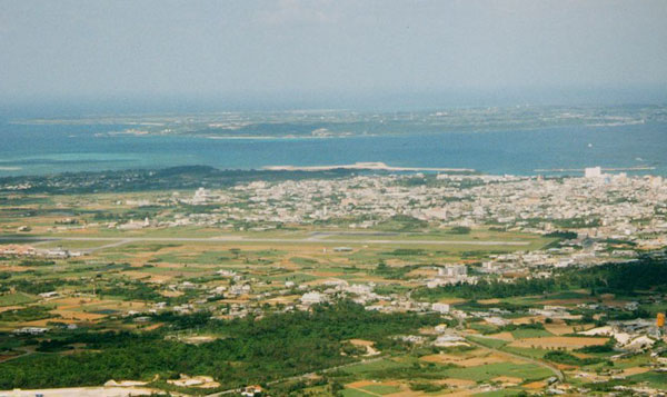
Chitose airport and Lake Shikotsu. You also able to see the Mt. Yoteizan (Ezo Fuji).
East-Chitose airbase (JGSDF; closed)
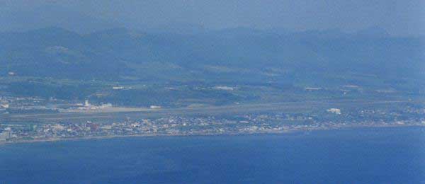
View fron Mt. Hakodate.
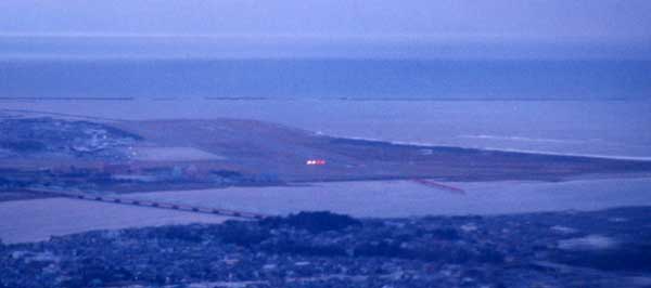
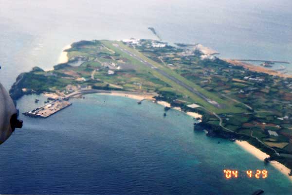
RW30 approach at Hakodate airport.
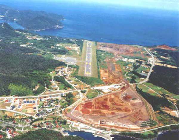
Ex-Okushiri airport (RW 12/30) was only 800m long.
New Okushiri airport (RW13/31) will operate in 1,500m from March 25, 2006.
Unfortunataly, Air Hokkaido (ADK) terminate three DHC-6 Twin-Otter round trip service from
Hakodate on March 31st , 2006. ADK itself brake-up similtaniously.
HAC will operate Saab340B on this route but only one round trip per day.
Tohoku area
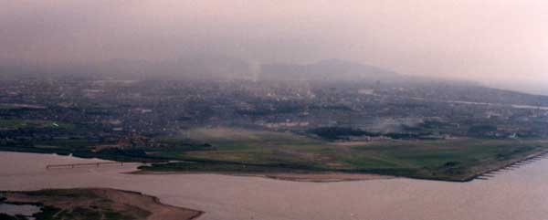
Ohminato airbase (RJSO)
Kabayama Transmitter site (Japanese Army before the World War II)
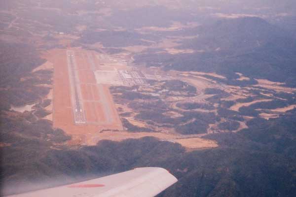
Hakkodasan (active volcano) locates behind Aomori airport.
You can see the big anntena so called the Elephant Cage on the left bottom.
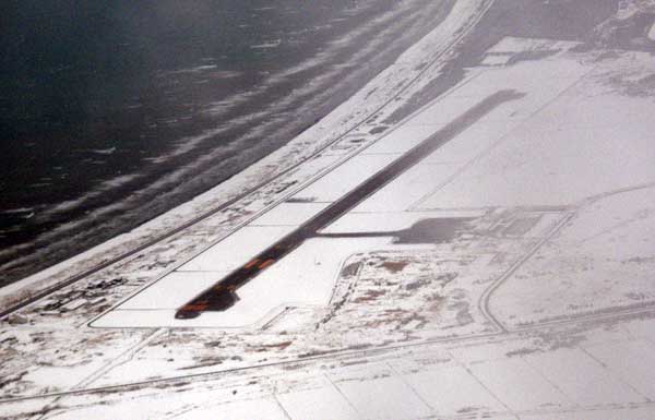
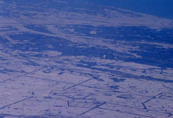
In winter, this area is coverd with snow.
This is called "Elephant Cage", which receives every transmission at Russia, norh Korea and China.
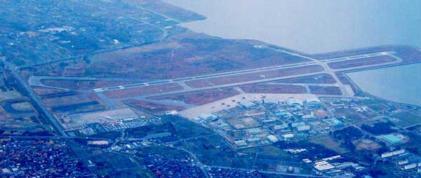
Hachinohe Air Base (RJSH)
The new terminal is under construction.
The new terminal is operationg from April 2009.
Matsushima airforce base (RJST)
![]()
![]()
![]()
![]()
![]()
![]()
![]()
![]()
![]()
![]()
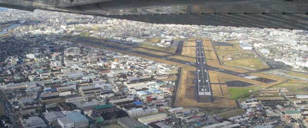
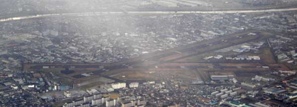
Cyuubu area
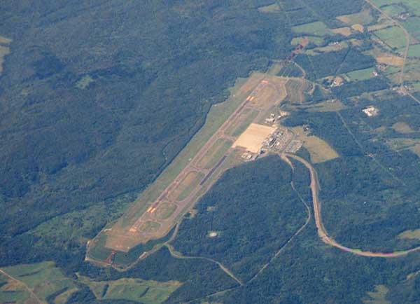
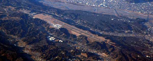
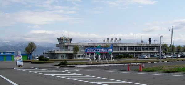
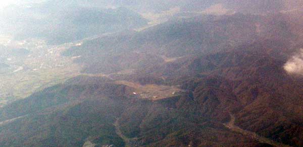
Fujigawa air-strip
Miho airstrip
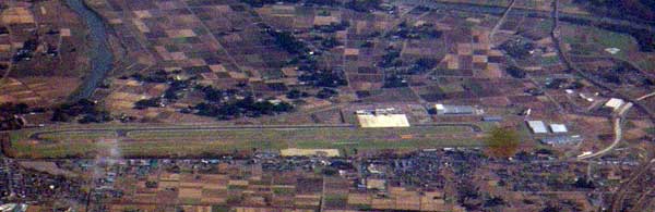
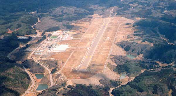
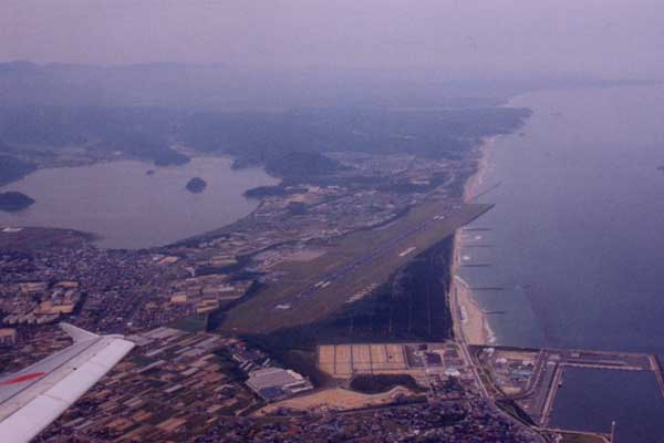
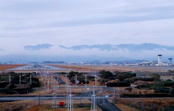
Shizuhama airbase (RJNY)
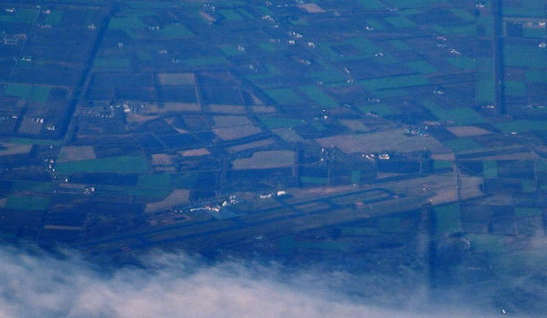
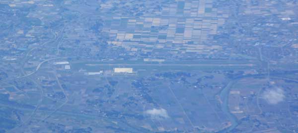
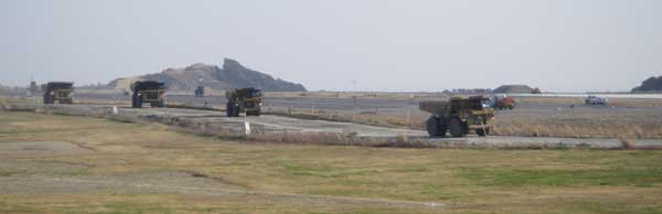
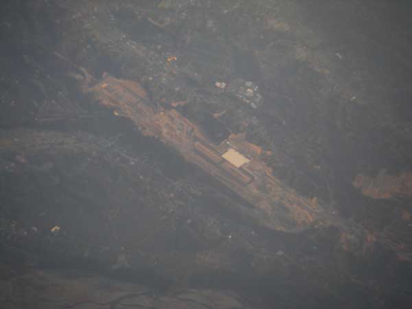
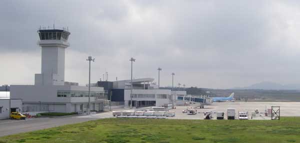
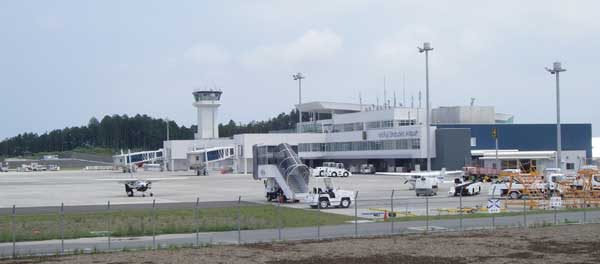
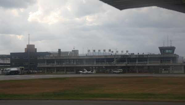
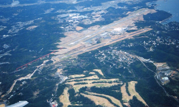
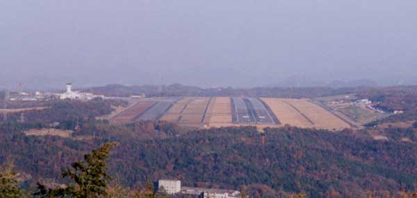
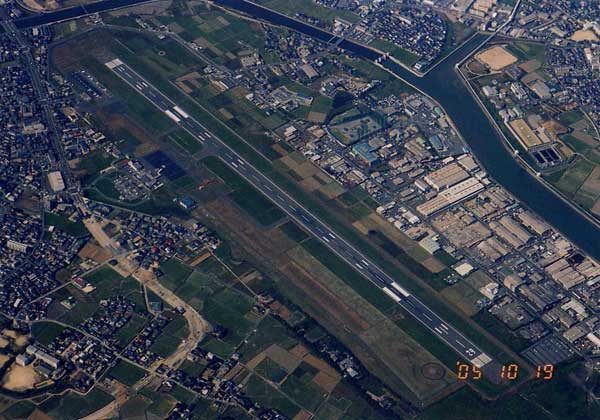
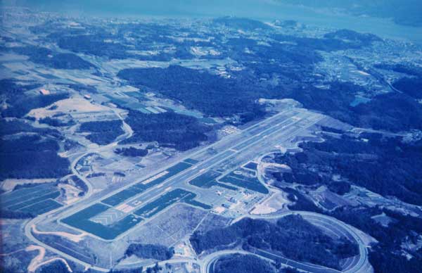
Shizuoka airport (under construction)
Shizuoka airport will open in 2008, but who use it? Many people think that it is USELESS!

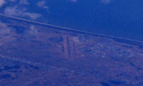
Under construction at Nov. 2005.
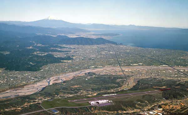
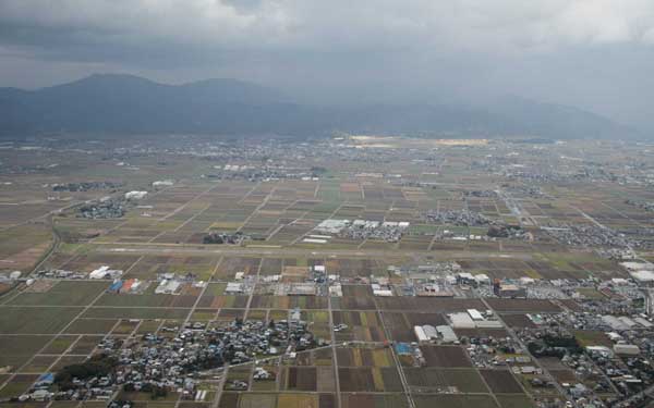
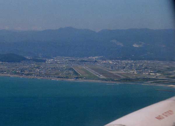
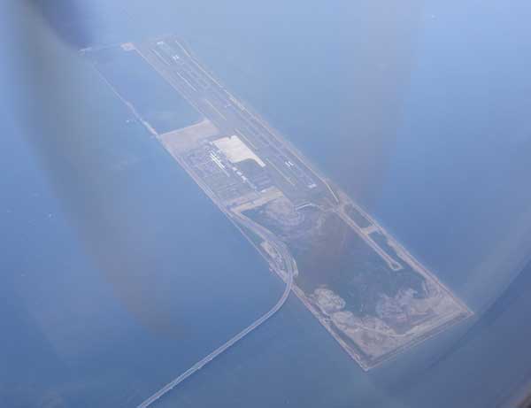
It is NOT EASY to see Mt. Fuji from this airport. The distance between Shizuoka airport and Mt Fuji
is almost same as that of Tokyo-Haneda and Mt. Fuji. Furthermore, the acsess from Shizuoka city is BAD!
Many passenger from Shizuoka city will use Haneda airport as they do today.
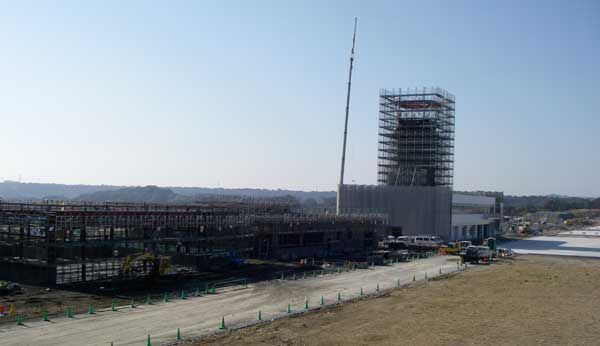
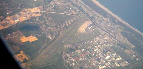
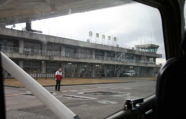
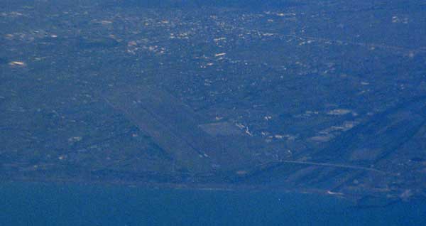
The terminal and run-way under construction at Jan. 2008. It will open on March 2009.
Nov. 2005.
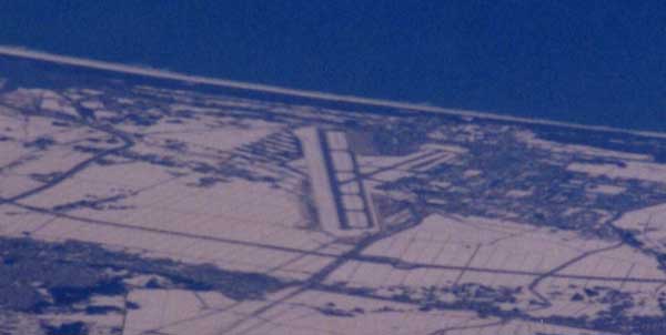
April 2008.
Jan. 2009.
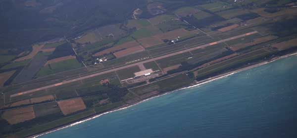
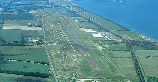
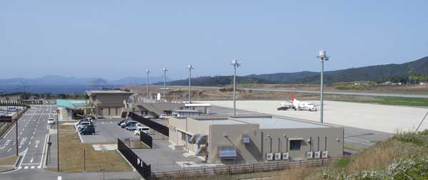
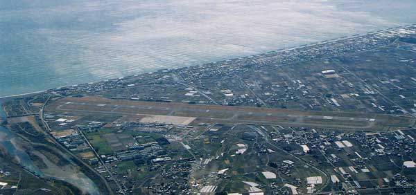
Shizuoka Airport operate from June 04, 2009.

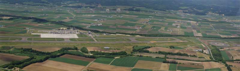
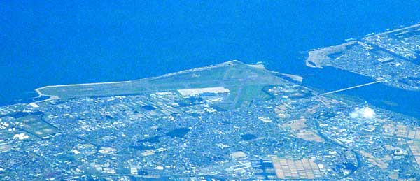
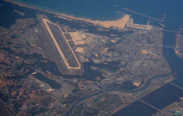
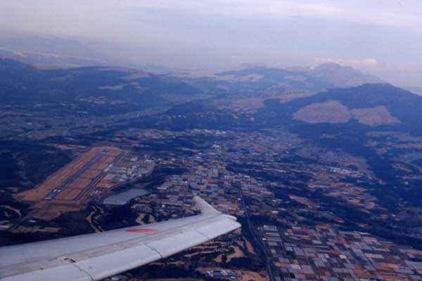
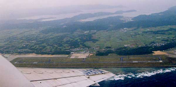
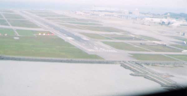
This airport is the home of the BLUE-IMPLSE. You can see Hamamatsu ACT-city tower.

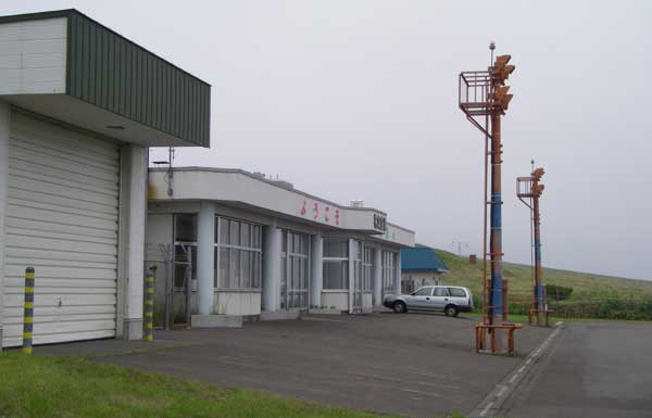
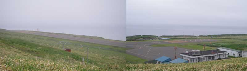
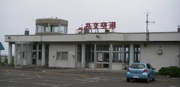
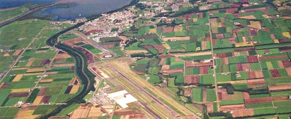
Upper; Sado airport at Aug. 03, 1987. JA5270 of Shin-Cyuou airlines.
Lower; Sado airport at March 30, 2008. JA02TY of Kyokushin airlines.
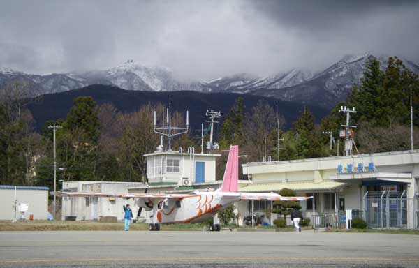

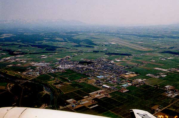
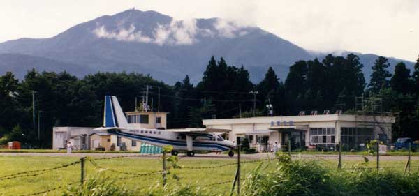
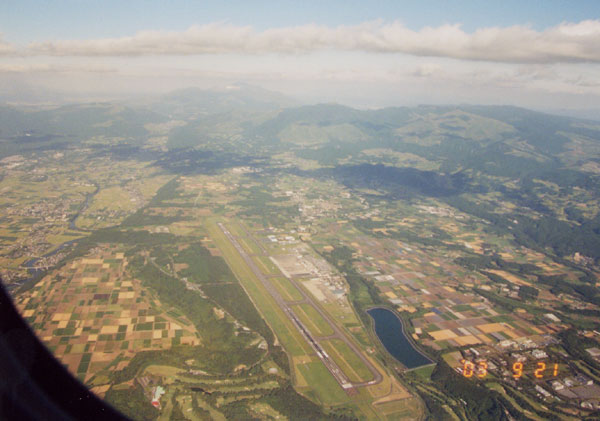
Matsumoto airport with Lake Suwa and Mt. Fuji
Gifu AirBase (RJNG)
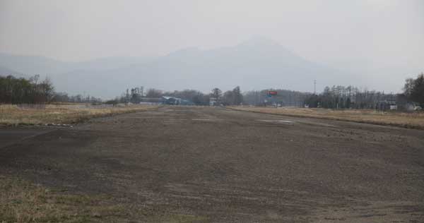
This airport quit commercial operation at Feb. 16, 2005.
This airport was built in the dry riverbed.

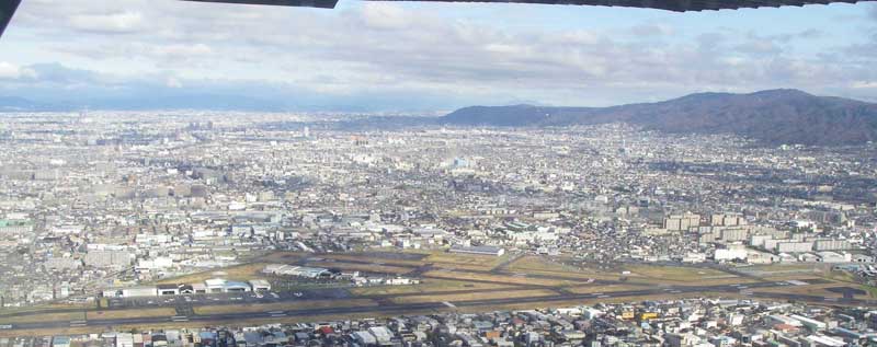
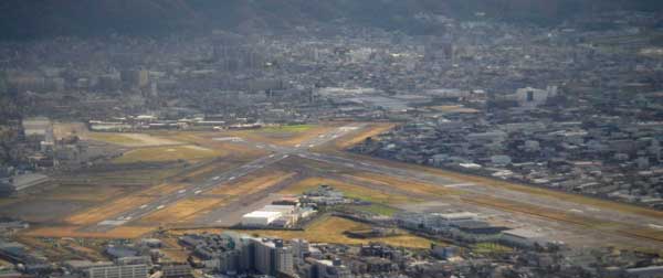
Kinki area
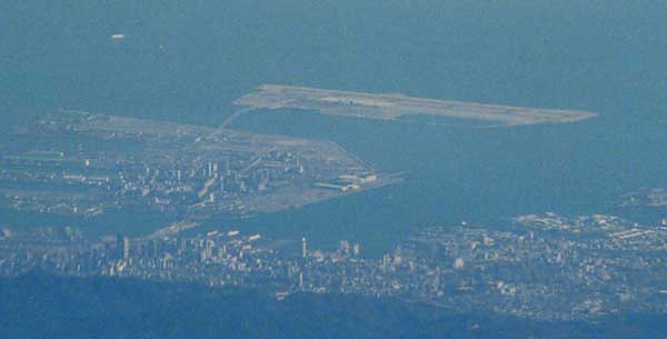
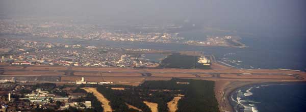
View of the Kobe airport, port island and Kobe city around Sannomiya.
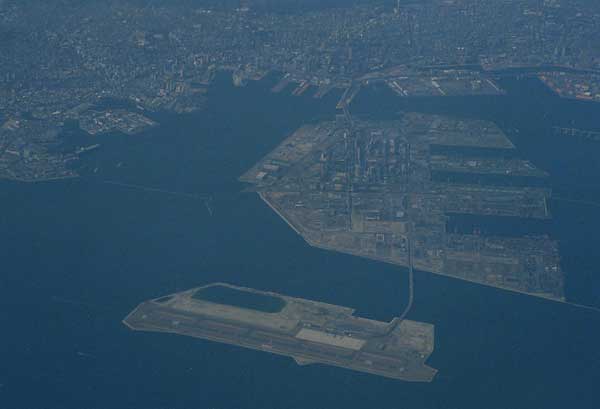
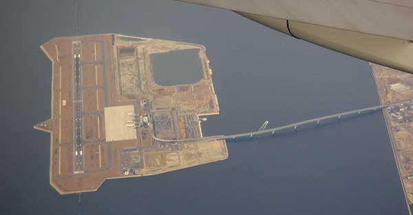
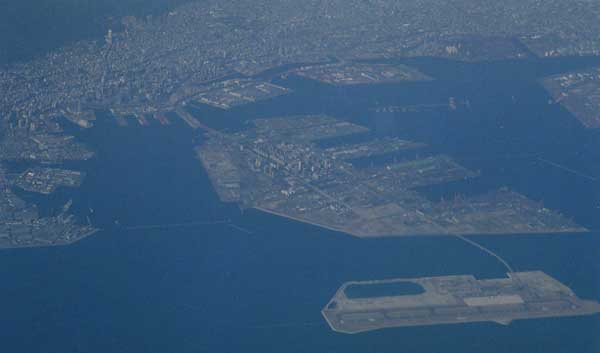
From east bound airplane.
Uunder construction at Sep. 2004.


Cyugoku area
New Oki airport.

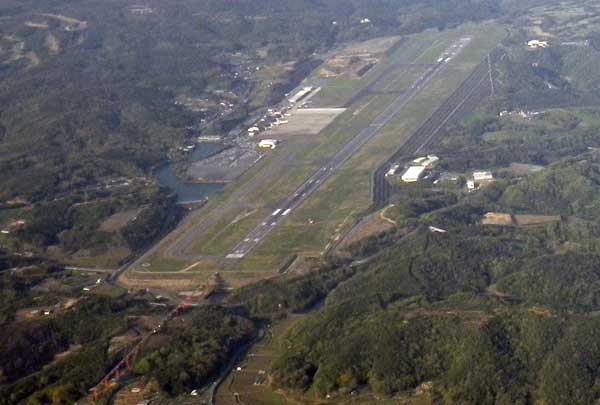
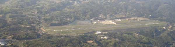
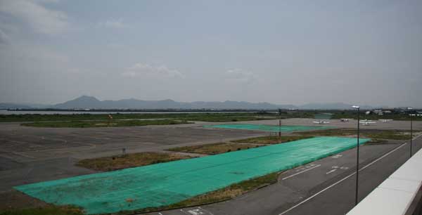
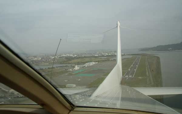
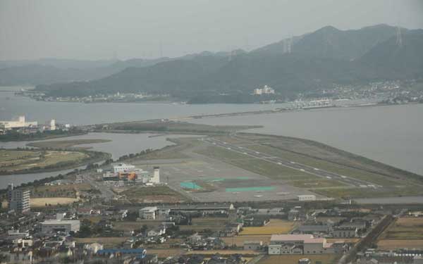
Konan airport (OKS, RJBK, ex-Okayama airport), Used for the general aviation today.
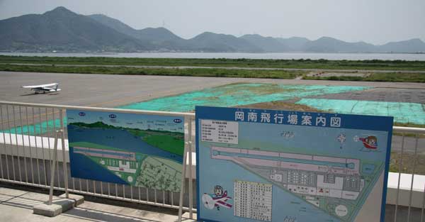

This airport locates 60Km! east from Hiroshima city. How idiot they were, they just destroy nature!
![]()
![]()
![]()
![]()
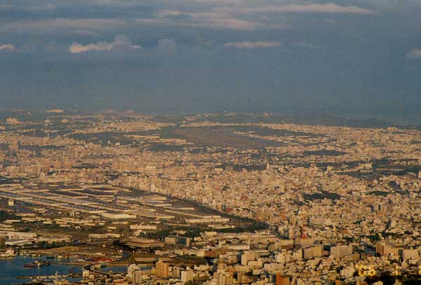
This airport was used as the Hiroshima airport until 1993, now using for the commuter airlines.
![]()
![]()
US Marine Corps Air Station Iwakuni (RJOI)
Houfu air base (RJOF)

Ozuki JMSDF air base (RJOZ) at Shimonoseki.
![]()
Shikoku area

View from the Aerospace park locates 5Km west from the airport.
![]()
![]()
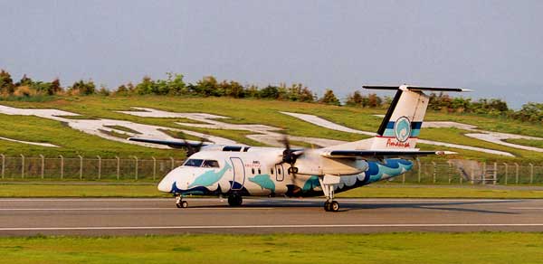
YS-11(JA8768) for Fukuoka just took-off from Tokushima airport.
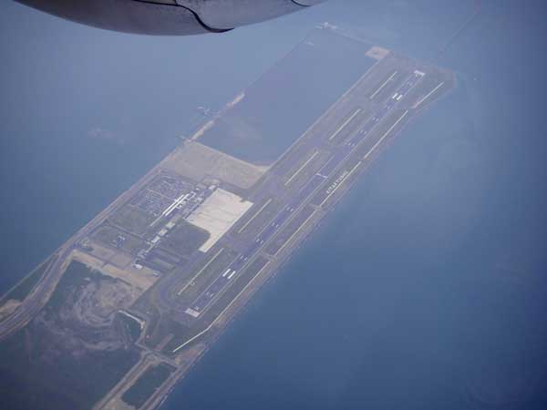
Fukuoka airport RW34.
![]()
Ashiya SDAF air-base (RJFA)

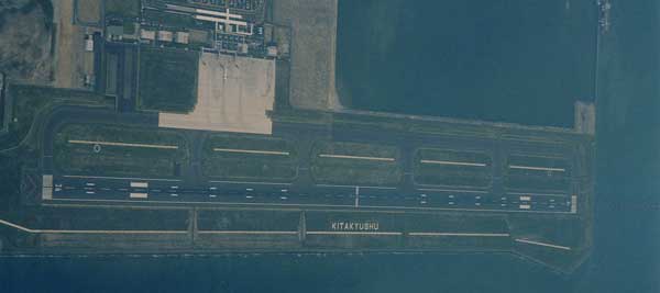
New Kita-Kyusyu airport opened on Mar. 16th, 2006

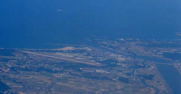
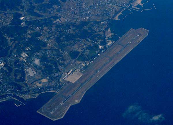
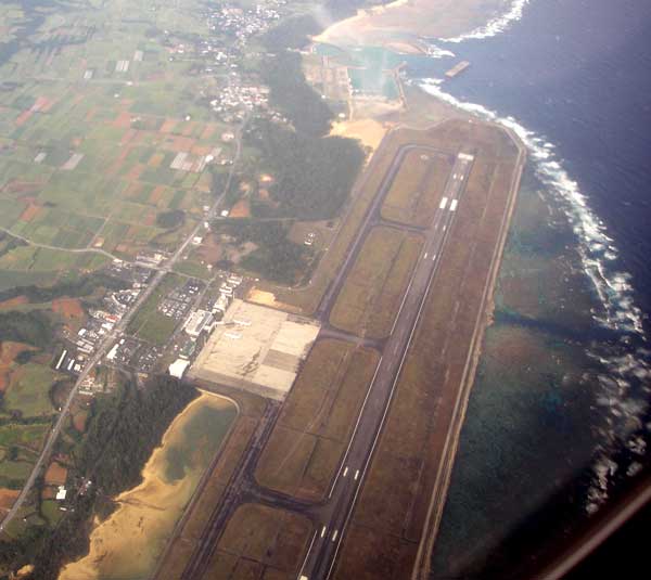
Ohita airport located at the east end of the Kunisaki peninsula.
Ohmura air base (RJFU)
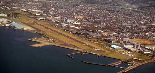
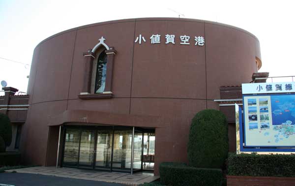
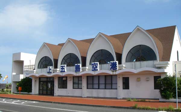
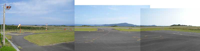
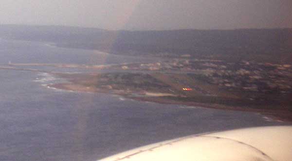
Odika airport (RJDO)

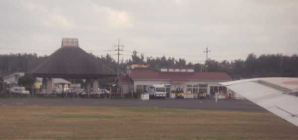
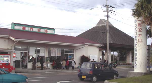
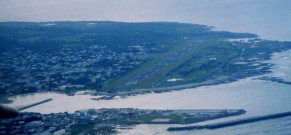
Fukue airport located west from Mt. Oni (The word Oni means evil, the volcano).
View from Mt. Oni, JA391K Island Dolphine just after take-off from the airport.
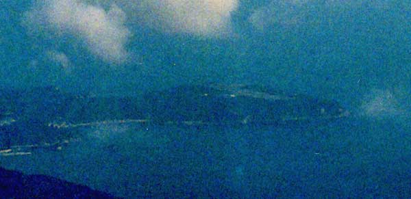
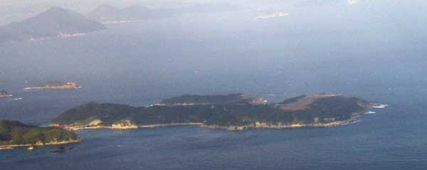
This island belonging to Nagasaki prefecture.
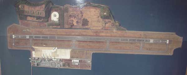
Oriental Air Bridge flight service was abandaned at March 31, 2007 due to lack of passengers.
The terminal building ramainig but empty with beautiful stained-glass, based on Cristianity of this area.
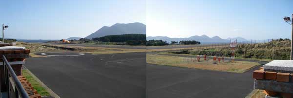
Amakusa Air Line (AMX) only operates this JA81AM.

New-Tabaru JSDAF airport (RJFN)
![]()
Ex-Kagoshima (Kamoike) airport
![]()
This street was the runway of Kamoike airport.
![]()
Old terminal was used as a supermarket.
![]()
Old hunger was used for Bus terminal of Nangoku-Koutsu.
Kanoya JMSDF Air Base (RJFY)
Makurazaki airstrip for general aviation.
This airport was designed for the general aviation at the time of the Bubble.
Today, it is no longer used as the 800m of runway. The city wanted to be a Prizon!

![]()
This airport has been closed at March 15, 2006 and
New Tanegashima airport start service from March 16, 2006
![]()
This new airport locates about 8km north of the previous airport.
![]()
![]()

![]()
![]()
![]()
![]()
![]()

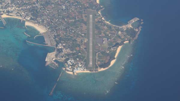
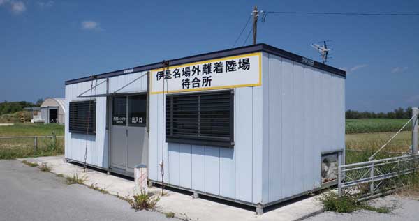
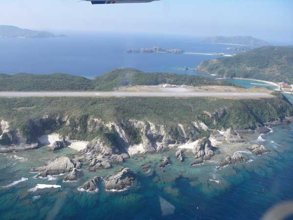
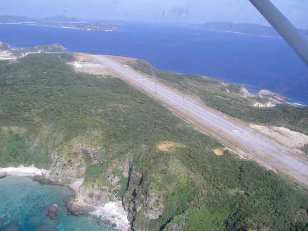
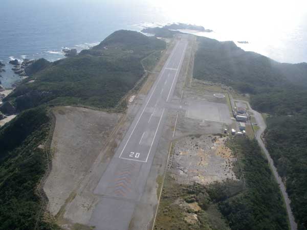
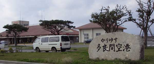
Small but beautiful island where I loved once.
You can find the STAR SANDs at Yurigahama beach.

The Pricia Resort locates very close to the runway.
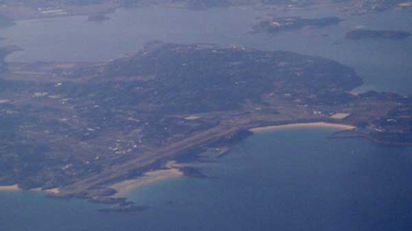
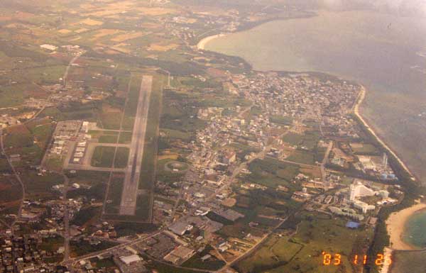
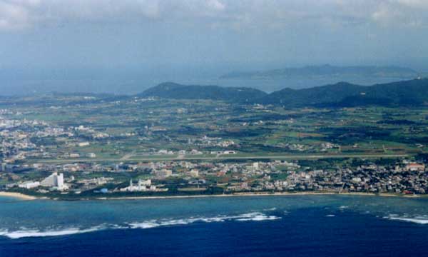
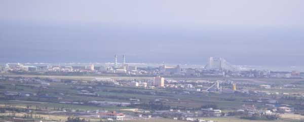
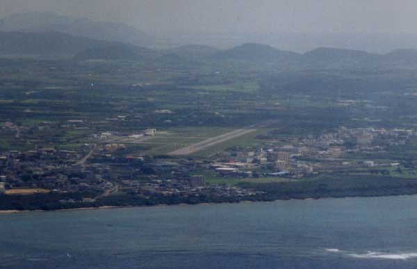
Okinawa & Ryukyu islands
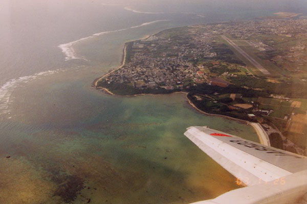
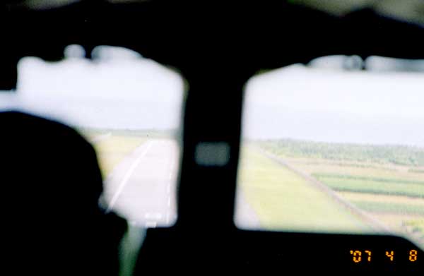
RW36 approach from BN-2 Islander.
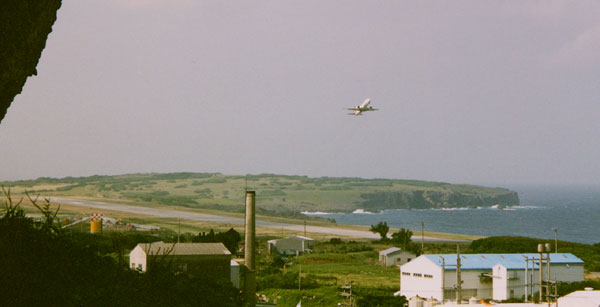
Just after take-off from OKA RW36 for Miyako-island.
Short take-off at RW18 by the Air Dolphne Cessna 172M (JA3778)
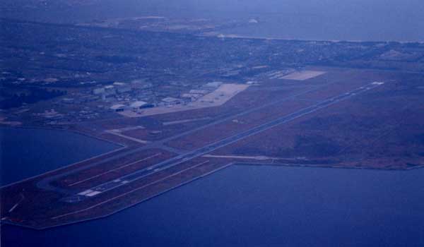
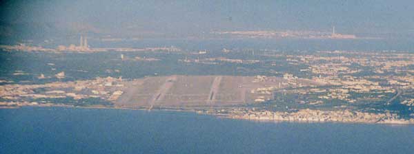
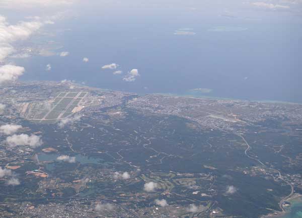
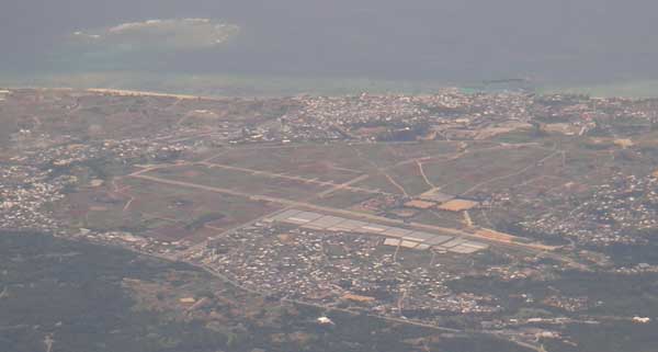
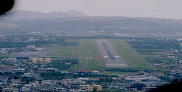
Marine Corps Air Station Futenma (ROTM)
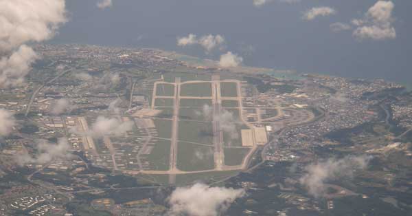
Kadena US AFB (RODN)

Yomitani auxially runway (ROKW)
Izena air-strip

There are a few non scheduled flight from Naha airport operated by Air Dolphine Cessna172M.
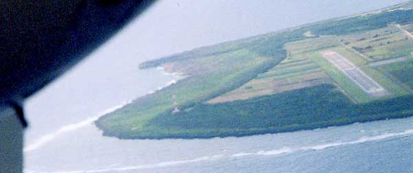
RW03 end of Kumejima airport.
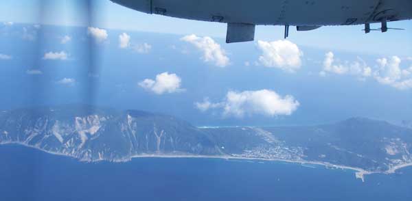
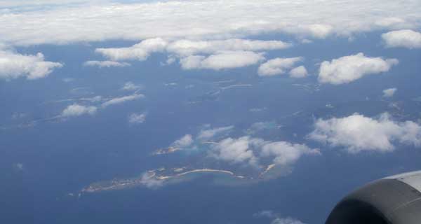
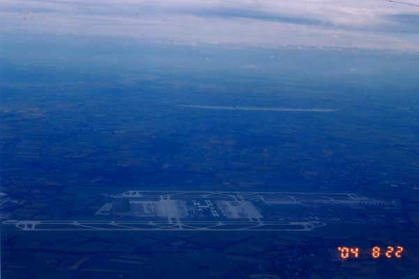
The high altitude view from Okinawa (Naha) to Ishigaki island.

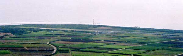
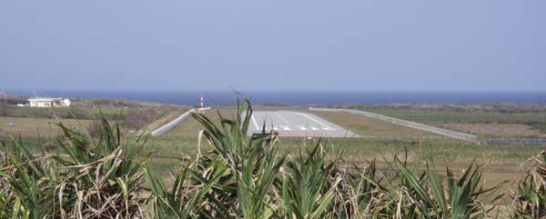
The runway 01 of Aguni airport.
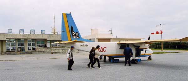
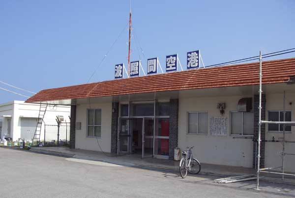
Aguni airport terminal with Ryukyu Air Commuter BN-2 Islander JA5324.
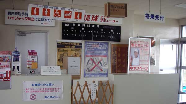
Aguni airport terminal. The lower half of the airport name is missing.

You have to mesure your body weight at check-in. The seat will assign by the weight.
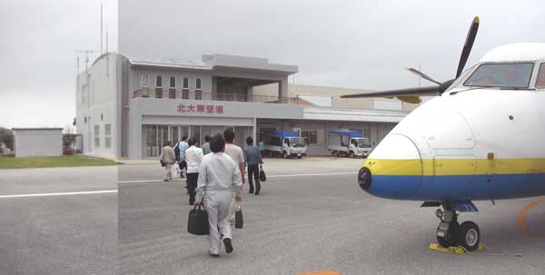
There are three round trip from Okinawa (Naha) airport a day.
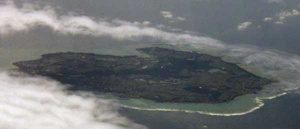
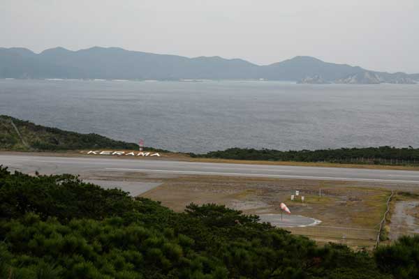
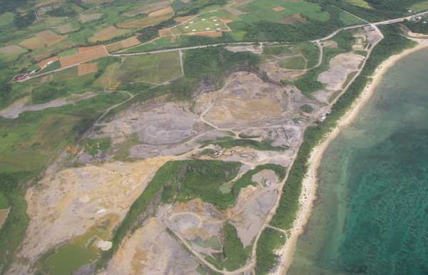
Kerama islands are located 40Km west from Naha, Okinawa.
This island is famous among divers, who can see manta rays.
The flight service between Naha and Kerama was operated by RAC but terminated it's operation at the end of March 2006.
We have charter flight by the Air Dolphne, using Cessna 172M (JA3778).
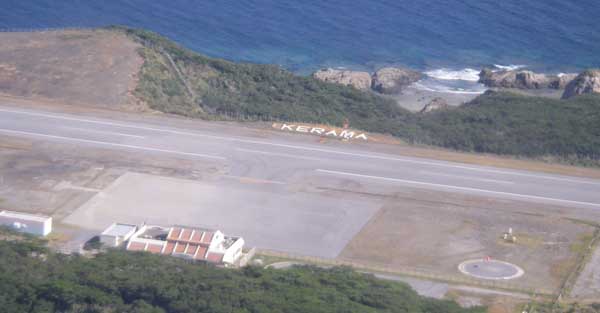
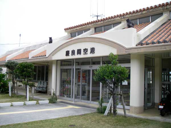
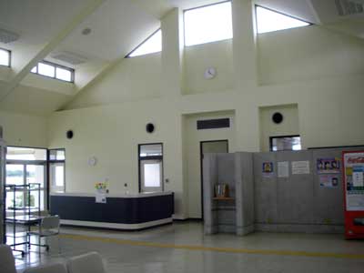
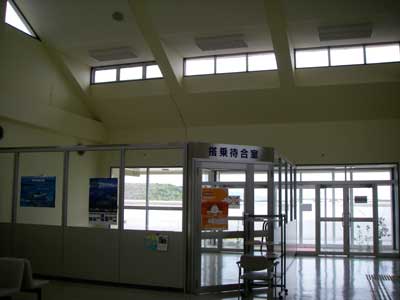
I visited Kerama airport by sea at Jan. 07, 2009
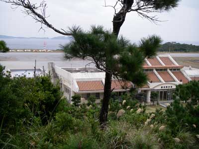
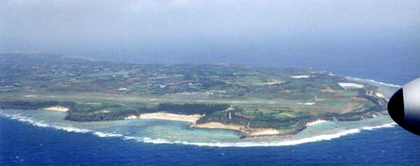
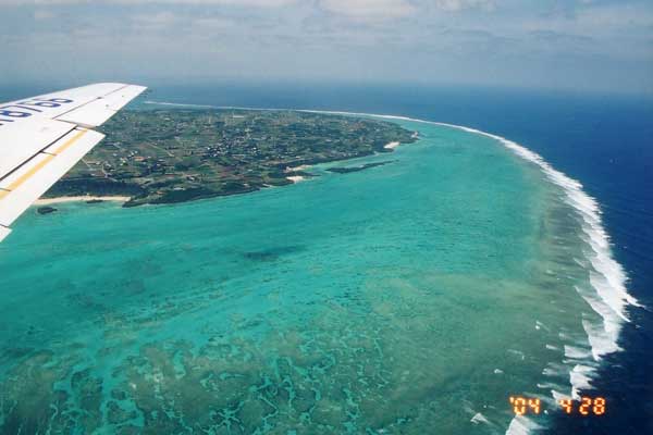
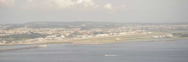
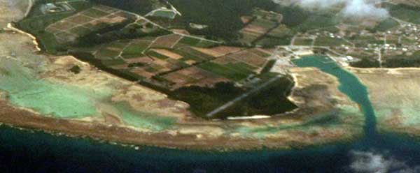
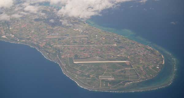
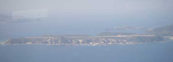
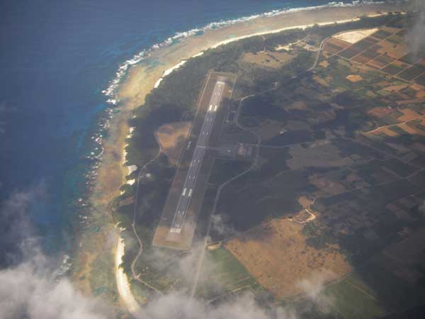
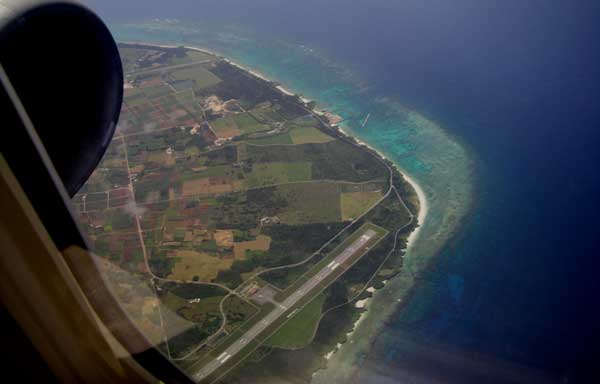
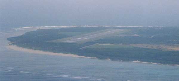
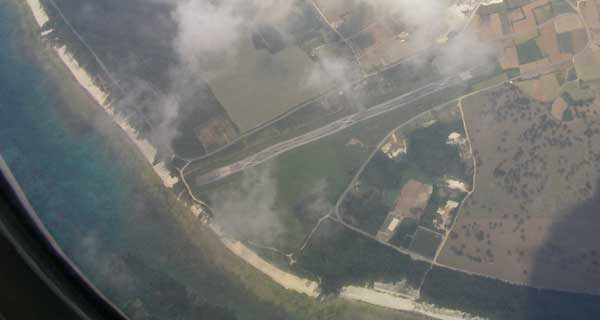
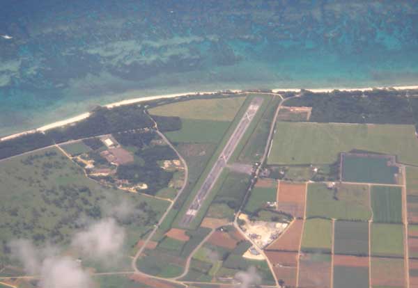
You can see the Irabu-island and the part of the Shimochijima-island behind the airport.
![]()
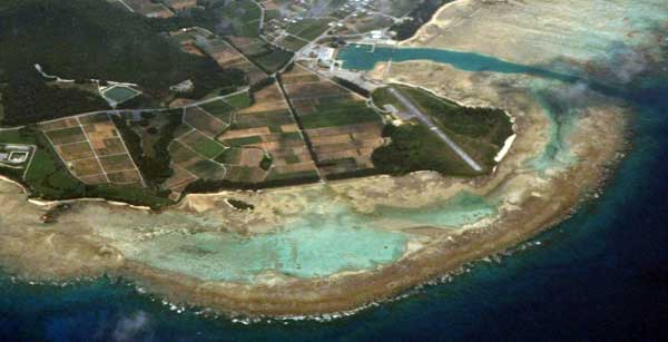
Shimochi-jima is the westapart of Irabu island separated by a small river
locates 10Km north-west of Miyako jima.
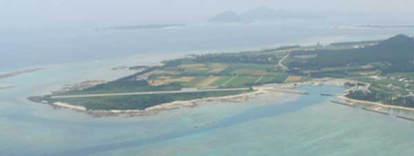
This tiny island has a 10,000ft length of runway, which uses for the training of the airline pilots.
![]()
![]()
![]()
![]()
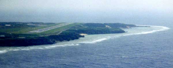
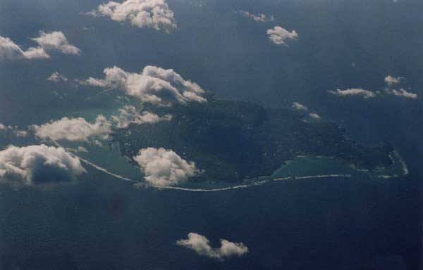
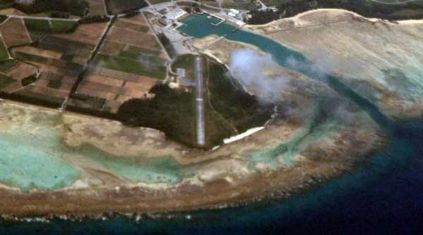
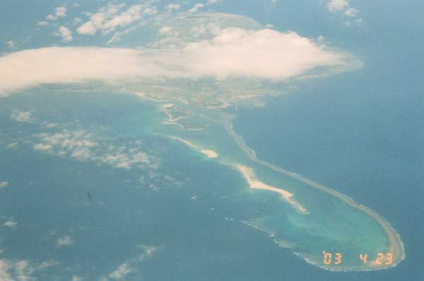
You can see the old runway at the south of the island and new runway located at the west.
The right upper is Minna island population is only seven.
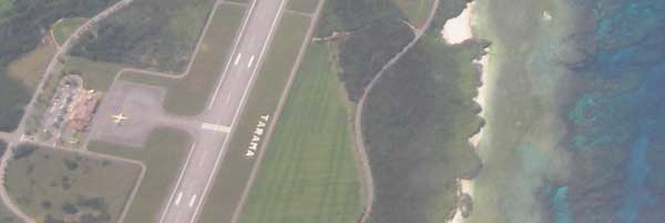
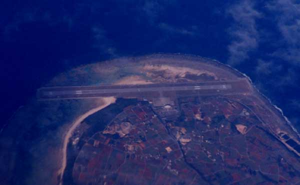
New Tarama airport (upper) opend at Oct. 10, 2003.
Old terminal (lower) was abandoned.
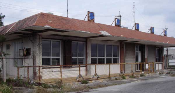

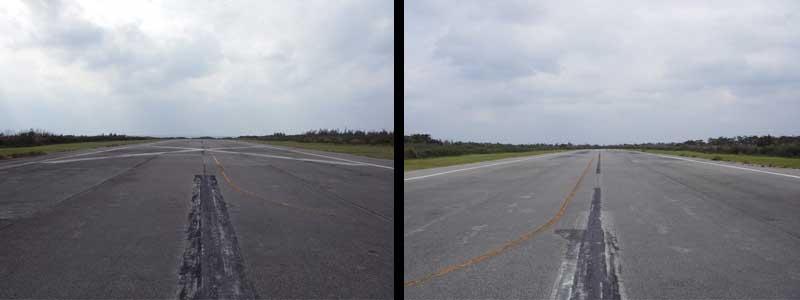
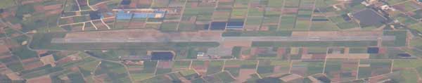
Ex-Tarama airport, runway length was 800m.
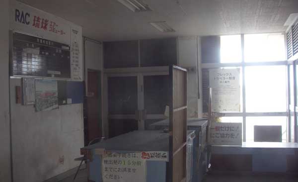
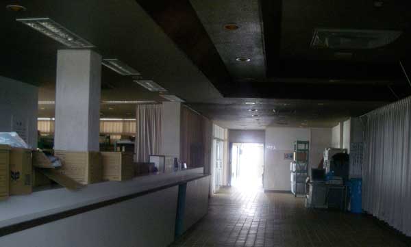
Ex-Tarama airport counter.
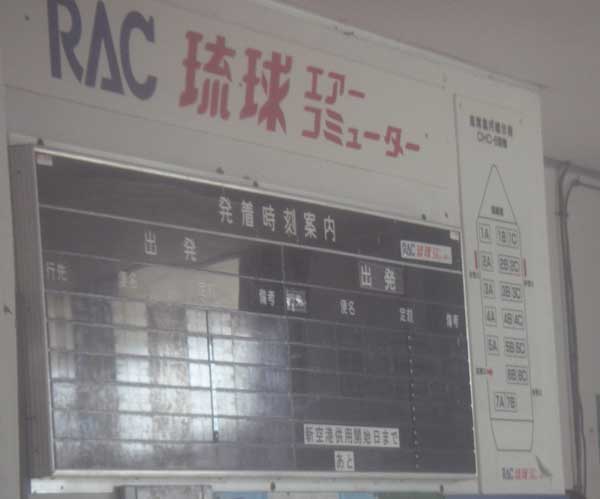
You can see the seat map of the DHC-6 Twin-Otter and the count down for the new airport.
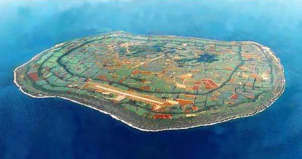
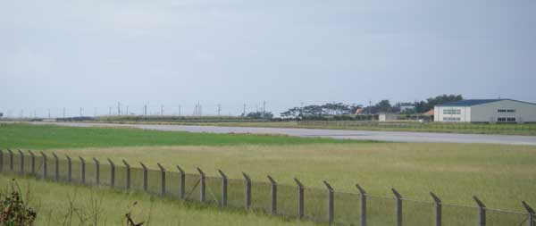
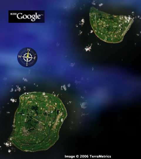
The old runway was seen at the center of the island.
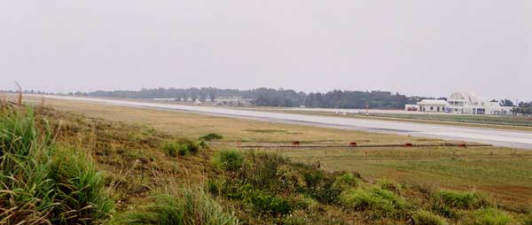
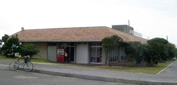
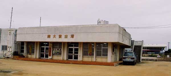
Ex-Minami Daito airport terminal was used as the liqueur factory.
Kita-Daito-Jima (North Grate-East Island) (KTD, RORK)
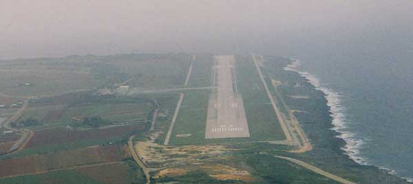
RW02 of Kita-Daito-jima
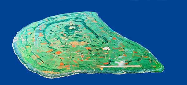
Terminal.
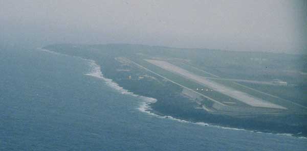
RW20 of Kita Daito-jima.
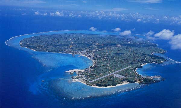
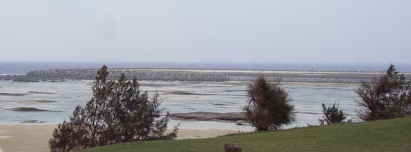
This island was surrounding by beautiful coral reef.
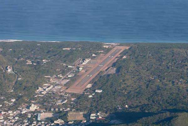
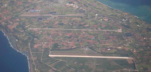
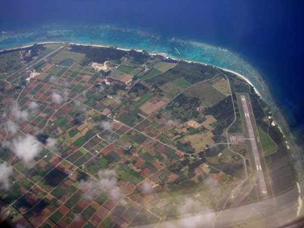
This location must be the New Ishigaki airport at Shiraho.
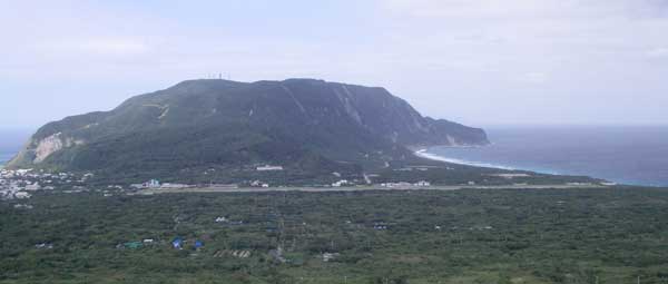
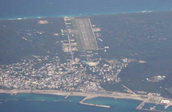
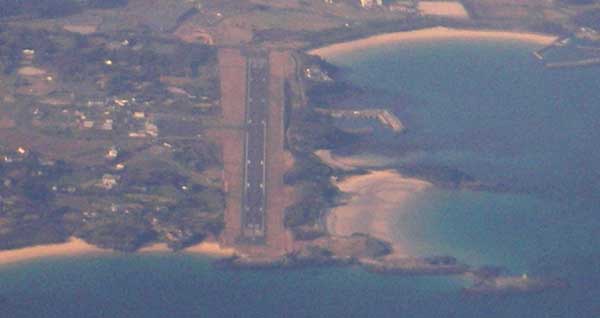
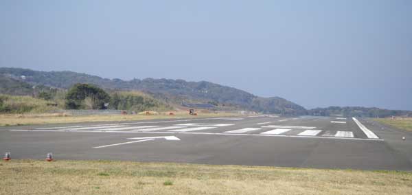
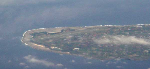
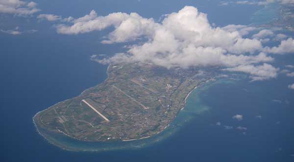
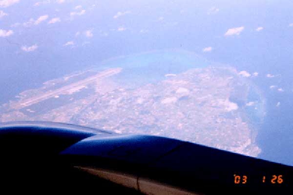
Hateruma; the southern-most civil airport of Japan. View from the RW02 end.
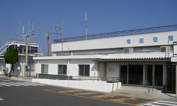
Hateruma airport terminal is tiny!
The counter of Hateruma airport. There is only one returning flight from Ishigaki island.
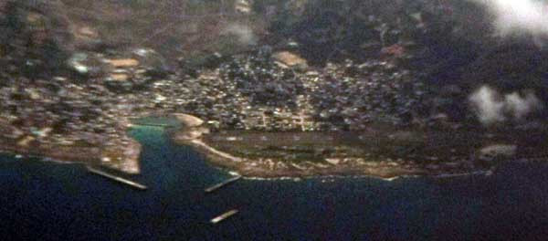
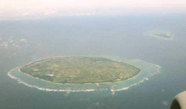
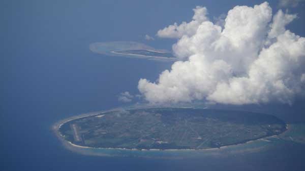
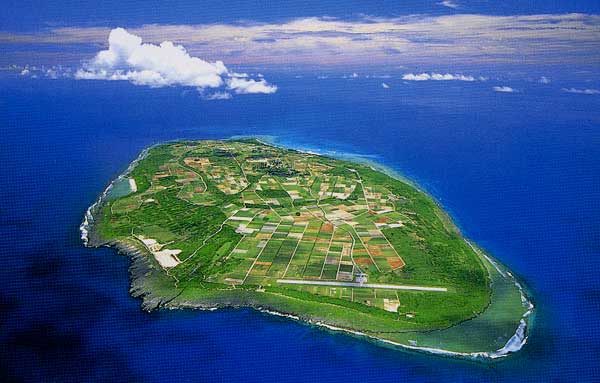
This island locates the west most point of Japan, which is only 90Km from Taiwan.
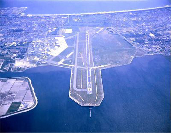
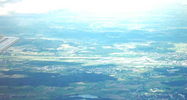
Munich International airport (MUC), Germany.
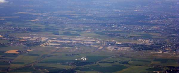
Zurich airport (ZRH), Swiss.
CDG
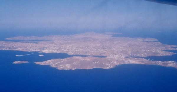
Santorini Island, Greece.
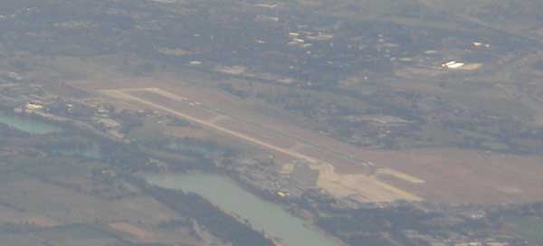
Linate airport, Milano (LIN), Italy
Napoli (Naples) airport (NAP), Italy

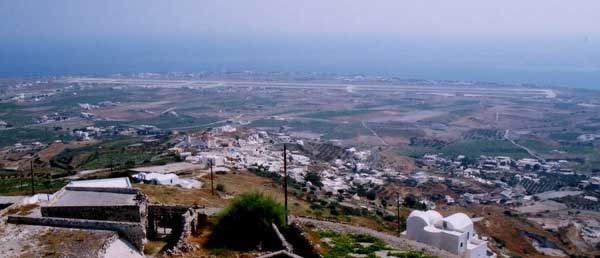
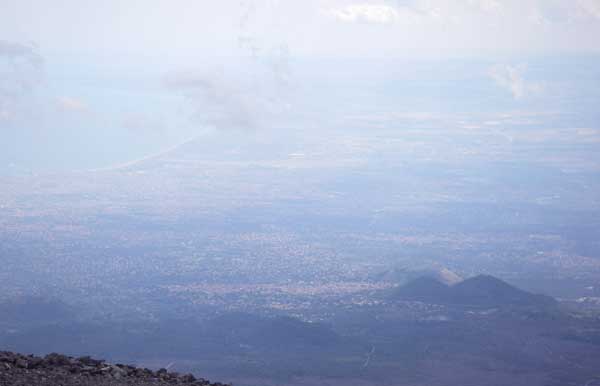
View from the top of the Mt. Vesvio, about 1000ft high.
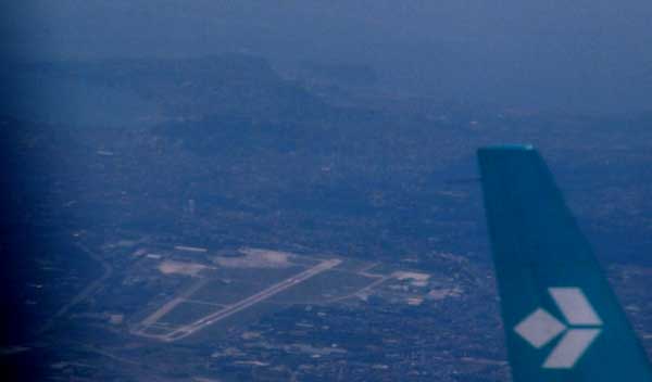
You can see the Napoli city behind the airport.
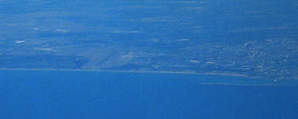
Catania airport (CTA), Sicilia, Italy.
View from Mt. Etna (2800m of the elevation).
Honolulu, Hawaii.
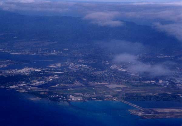
Honolulu airport and Pearl Harvor.
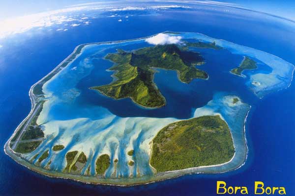
Bora Bora Island, Tahiti.
Bangkok, Thailand.
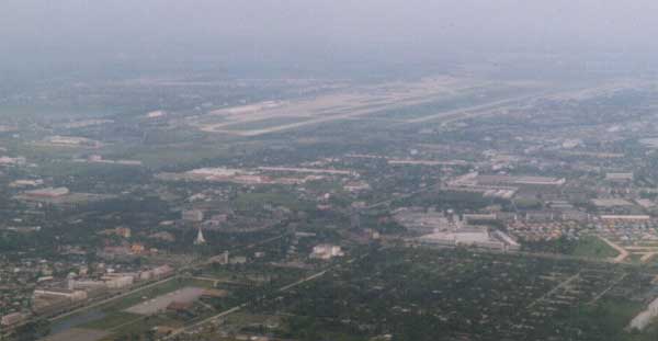
Hot & Humid city, I'll never arrive there.